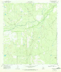
1969 Map of San Caja Hill
USGS Topo · Published 1972About this map
Nueces River meanders across this McMullen County landscape, accompanied by the distinct oxbows and abandoned channels of the Old River. The topography is defined by significant elevations such as San Caja Hill in the southeast and Drakes Point to the west, overlooking a network of drainages including Dragoon Creek and Hill Creek. Evidence of mid-century industrial activity is prominent, specifically within the Ezzell Oil Field, where a Drill Hole and a network of pipelines mark the extraction efforts of the era.
Find a feature on this map
13 named features on this map. Tap any name to fly to it.
Don’t see what you’re looking for? This feature index may not catch every label — zoom into the map to look around manually.
Map Details
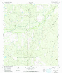
Editions of this 1969 San Caja Hill Map
2 editions found
Other maps of this area

1920 · Mikeska
USGS Topo · 1:125,000

1925 · Simmons No. 1
USGS Topo · 1:48,000

1925 · Tilden No. 1
USGS Topo · 1:48,000

1925 · Simmons No. 2
USGS Topo · 1:48,000

1929 · Simmons
USGS Topo · 1:62,500

1930 · Tilden
USGS Topo · 1:62,500

1937 · Loma Alta
USGS Topo · 1:62,500

1942 · Tilden
USGS Topo · 1:62,500

1953 · Crystal City
USGS Topo · 1:250,000

1955 · Crystal City
USGS Topo · 1:250,000