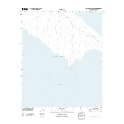
2012 Map of San Clemente Island South
USGS Topo · Published 2012About this map
San Clemente Island is the southern focus of this 2012 survey, part of the Channel Islands archipelago off the California coast. The map illustrates a landscape defined by its coastal landforms and water bodies, including Mosquito Cove and Pyramid Cove along the eastern shoreline. The terrain is marked by significant geographic points such as Lost Point on the west and China Point at the island's southern extremity. A network of unimproved roads and trails winds through the interior, suggesting a landscape primarily used for navigation or resource management rather than dense settlement. The surrounding Pacific Ocean is detailed with soundings and nautical markers, reflecting the island's isolation and its continued importance as a maritime landmark. Notable features like Cove Point provide specific orientation for those studying the island's unique topography and coastal character in the early twenty-first century.
Find a feature on this map
8 named features on this map. Tap any name to fly to it.
Don’t see what you’re looking for? This feature index may not catch every label — zoom into the map to look around manually.
Map Details
Editions of this 2012 San Clemente Island South Map
This is the sole edition of this map. No revisions or reprints were ever made.
Other maps of this area
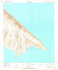
1943 · San Clemente Island South
USGS Topo · 1:24,000

1943 · San Clemente Island Central
USGS Topo · 1:24,000

1950 · San Clemente Island Central
USGS Topo · 1:24,000
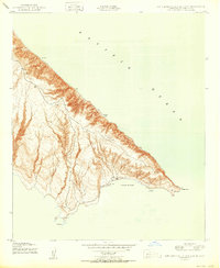
1950 · San Clemente Island South
USGS Topo · 1:24,000

1957 · San Clemente Island
USGS Topo · 1:250,000

1980 · San Clemente Island
USGS Topo · 1:100,000
2012 · San Clemente Island Central OE S
USGS Topo · 1:24,000
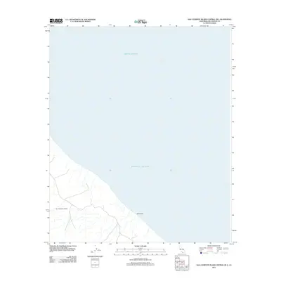
2012 · San Clemente Island Central OE E
USGS Topo · 1:24,000
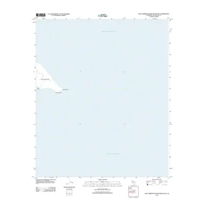
2012 · San Clemente Island South OE E
USGS Topo · 1:24,000
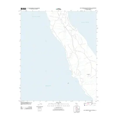
2012 · San Clemente Island Central
USGS Topo · 1:24,000