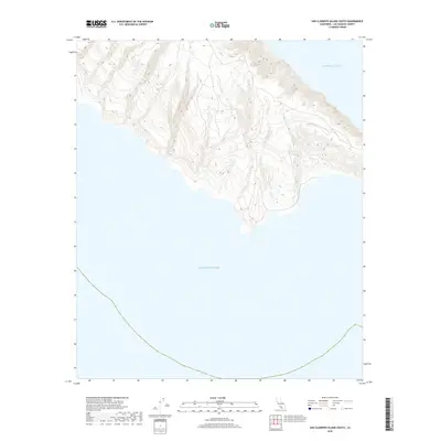
2018 Map of San Clemente Island South
USGS Topo · Published 2018About this map
The southern tip of San Clemente Island projects into the Pacific Ocean in this 2018 topographic study. The landscape is defined by steep, descending ridgelines and deeply etched canyons that terminate abruptly at the rocky shoreline. This map illustrates the isolation of the island's southern extremity, where the elevation drops from over 1,900 feet down to the sea level in less than two miles. The extreme verticality of the terrain and the absence of established roads or named settlements reflect the area's primary character as a natural coastal environment. Navigational and elevation data captured here illustrate the complex bathymetry and topography of one of California's most secluded offshore landmasses within Los Angeles County.
Find a feature on this map
1 named feature on this map. Tap any name to fly to it.
Don’t see what you’re looking for? This feature index may not catch every label — zoom into the map to look around manually.
Map Details
Editions of this 2018 San Clemente Island South Map
This is the sole edition of this map. No revisions or reprints were ever made.
Other maps of this area
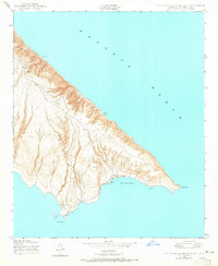
1943 · San Clemente Island South
USGS Topo · 1:24,000

1943 · San Clemente Island Central
USGS Topo · 1:24,000

1950 · San Clemente Island Central
USGS Topo · 1:24,000
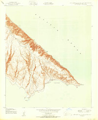
1950 · San Clemente Island South
USGS Topo · 1:24,000

1957 · San Clemente Island
USGS Topo · 1:250,000

1980 · San Clemente Island
USGS Topo · 1:100,000
2012 · San Clemente Island Central OE S
USGS Topo · 1:24,000
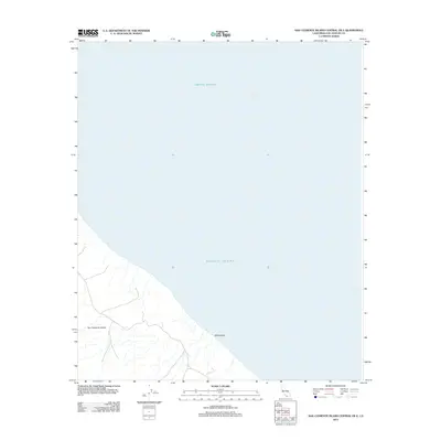
2012 · San Clemente Island Central OE E
USGS Topo · 1:24,000
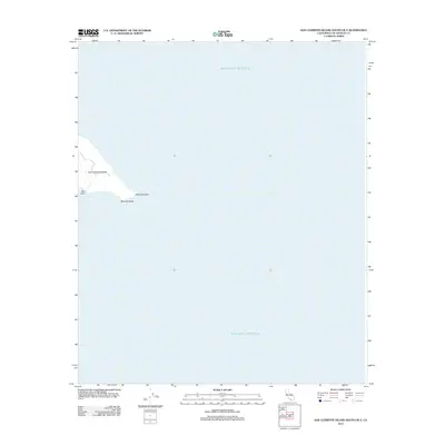
2012 · San Clemente Island South OE E
USGS Topo · 1:24,000
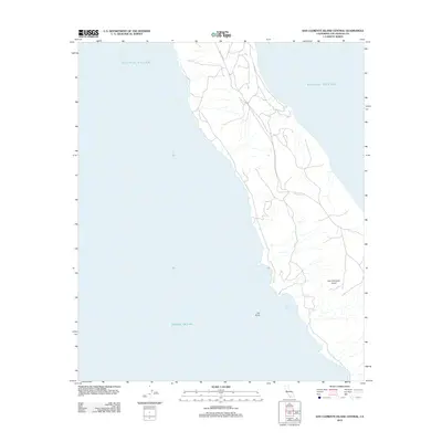
2012 · San Clemente Island Central
USGS Topo · 1:24,000