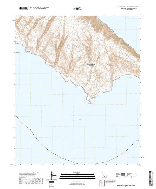
2021 Map of San Clemente Island South
USGS Topo · Published 2021About this map
San Clemente Island, the southernmost of California’s Channel Islands, is characterized by its dramatic maritime topography and isolated coastal features. This survey focuses on the southern tip of the island, where the land meets the Pacific Ocean at several distinct landmarks. Sharp coastal projections define the shoreline, ranging from the northwestern Lost Point down to the southern extremity at China Point. The island’s relief is deeply incised by drainages that lead to protected waters such as Mosquito Cove on the northeastern shore and the expansive Pyramid Cove to the south. Cove Point stands as a primary headland overlooking these southern waters. The map’s detailed contouring reveals the steep, wind-sculpted terrain of this restricted military and conservation area, illustrating the relationship between its high ridges and the intricate coastline that has long been a waypoint for Pacific navigators.
Find a feature on this map
8 named features on this map. Tap any name to fly to it.
Don’t see what you’re looking for? This feature index may not catch every label — zoom into the map to look around manually.
Map Details
Editions of this 2021 San Clemente Island South Map
This is the sole edition of this map. No revisions or reprints were ever made.
Other maps of this area
1943 · San Clemente Island South
USGS Topo · 1:24,000

1943 · San Clemente Island Central
USGS Topo · 1:24,000

1950 · San Clemente Island Central
USGS Topo · 1:24,000
1950 · San Clemente Island South
USGS Topo · 1:24,000

1957 · San Clemente Island
USGS Topo · 1:250,000

1980 · San Clemente Island
USGS Topo · 1:100,000
2012 · San Clemente Island Central OE S
USGS Topo · 1:24,000
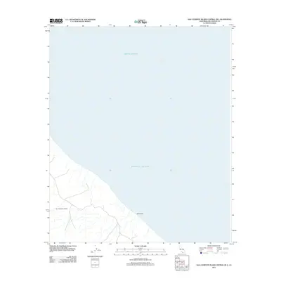
2012 · San Clemente Island Central OE E
USGS Topo · 1:24,000
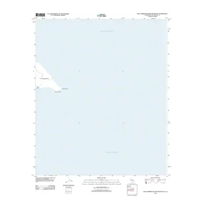
2012 · San Clemente Island South OE E
USGS Topo · 1:24,000
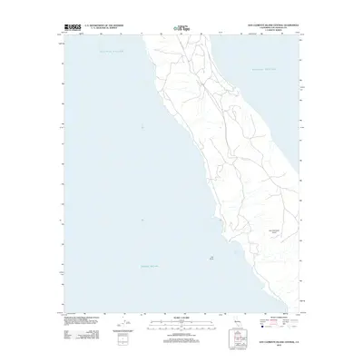
2012 · San Clemente Island Central
USGS Topo · 1:24,000