
1966 Map of San Dimas
USGS Topo · Published 1975About this map
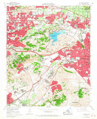
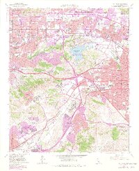
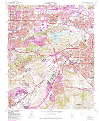
San Jose Hills and the Puente Hills define the topography of this mid-1960s survey, showing the rapid eastward expansion of the Los Angeles basin. Large institutional campuses and recreational tracts occupy much of the central corridor, including the California State Polytechnic College (Kellogg Unit) and the Los Angeles County Fairgrounds. The landscape is a mix of established citrus-era towns like San Dimas and La Verne alongside massive new infrastructure projects. The San Bernardino Freeway and Pomona Freeway slice through the hills, while the Puddingstone State Recreation Area surrounds the Puddingstone Reservoir. Local history is visible in the transition from rail-oriented centers along the Atchison Topeka and Santa Fe Railway to the suburban sprawl of Charter Oak and Diamond Bar.
Find a feature on this map
46 named features on this map. Tap any name to fly to it.
Don’t see what you’re looking for? This feature index may not catch every label — zoom into the map to look around manually.
Map Details
Editions of this 1966 San Dimas Map
4 editions found
Other maps of this area

1894 · Pomona
USGS Topo · 1:62,500

1896 · Anaheim
USGS Topo · 1:62,500

1897 · Pomona
USGS Topo · 1:62,500

1897 · Cucamonga
USGS Topo · 1:62,500

1898 · Pomona
USGS Topo · 1:62,500

1898 · Anaheim
USGS Topo · 1:62,500

1900 · Cucamonga
USGS Topo · 1:62,500

1901 · Southern California Sheet No. 1
USGS Topo · 1:250,000

1901 · Anaheim
USGS Topo · 1:62,500

1902 · Corona
USGS Topo · 1:125,000