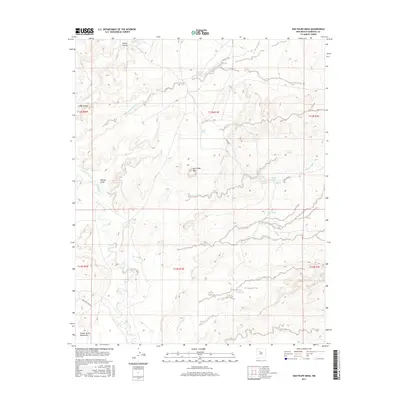
2017 Map of San Felipe Mesa
USGS Topo · Published 2017About this map
San Felipe Mesa rises as a central landform in this high-desert landscape, where drainage patterns define the movement of water and travelers alike. The Rio Puerco meanders through the western reaches of the quadrangle, flanked by deeply incised features like Navajo Draw and Cañon Cuervo. These watercourses, often dry, are supported by critical upland water sources such as Sandoval Spring, Alamo Spring, and Tortola Spring.
Find a feature on this map
27 named features on this map. Tap any name to fly to it.
Don’t see what you’re looking for? This feature index may not catch every label — zoom into the map to look around manually.
Map Details
Editions of this 2017 San Felipe Mesa Map
This is the sole edition of this map. No revisions or reprints were ever made.
Other maps of this area

1883 · Mt. Taylor
USGS Topo · 1:250,000

1886 · Mt. Taylor
USGS Topo · 1:250,000

1888 · Bernalillo
USGS Topo · 1:125,000

1889 · Albuquerque
USGS Topo · 1:125,000

1892 · Mt. Taylor
USGS Topo · 1:250,000

1893 · Albuquerque
USGS Topo · 1:125,000

1899 · Mt. Taylor
USGS Topo · 1:250,000

1954 · Herrera
USGS Topo · 1:24,000

1954 · Volcano Ranch
USGS Topo · 1:24,000

1954 · Sky Village
USGS Topo · 1:24,000