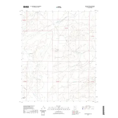
2020 Map of San Felipe Mesa
USGS Topo · Published 2020About this map
Rio Puerco meanders through this arid Sandoval County landscape, serving as the primary drainage for a network of complex arroyos. The 2020 terrain is defined by its water management history, evidenced by numerous livestock tanks like Justo Tank, Alamo Tank, and Two Tank, which support ranching across the high desert. Settlement is sparse, focused on small locales such as Kene-ewa and Cañada de los Canoncitos, while historic access is maintained via Indian Svc Rte 481 and Ranch Rd.
Find a feature on this map
28 named features on this map. Tap any name to fly to it.
Don’t see what you’re looking for? This feature index may not catch every label — zoom into the map to look around manually.
Map Details
Editions of this 2020 San Felipe Mesa Map
This is the sole edition of this map. No revisions or reprints were ever made.
Other maps of this area

1883 · Mt. Taylor
USGS Topo · 1:250,000

1886 · Mt. Taylor
USGS Topo · 1:250,000

1888 · Bernalillo
USGS Topo · 1:125,000

1889 · Albuquerque
USGS Topo · 1:125,000

1892 · Mt. Taylor
USGS Topo · 1:250,000

1893 · Albuquerque
USGS Topo · 1:125,000

1899 · Mt. Taylor
USGS Topo · 1:250,000

1954 · Herrera
USGS Topo · 1:24,000

1954 · Volcano Ranch
USGS Topo · 1:24,000

1954 · Sky Village
USGS Topo · 1:24,000