
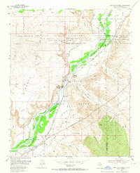
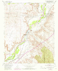
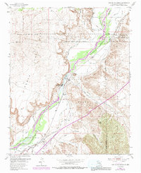
1954 Map of San Felipe Pueblo
USGS Topo · Published 1955About this map
The Rio Grande corridor in the mid-1950s reveals a complex network of agricultural and industrial infrastructure supporting the San Felipe Indian Reservation and Pueblo Grant. The settlement of San Felipe Pueblo sits at the heart of this landscape, flanked by an extensive system of irrigation works including the San Felipe East Side Canal and the Santo Domingo West Side Drain. To the south, the village of Algodones and the Algodones Power Plant mark a point of industrial utility near the river's edge, while the high ground of the Santa Ana Mesa dominates the western horizon.
Find a feature on this map
44 named features on this map. Tap any name to fly to it.
Don’t see what you’re looking for? This feature index may not catch every label — zoom into the map to look around manually.
Map Details
Editions of this 1954 San Felipe Pueblo Map
4 editions found
Other maps of this area

1888 · Bernalillo
USGS Topo · 1:125,000

1889 · Albuquerque
USGS Topo · 1:125,000

1890 · Jemes
USGS Topo · 1:125,000

1892 · San Pedro
USGS Topo · 1:125,000

1892 · Jemes
USGS Topo · 1:125,000

1892 · Santa Clara
USGS Topo · 1:125,000

1893 · Albuquerque
USGS Topo · 1:125,000

1943 · Jemez
USGS Topo · 1:62,500

1952 · Jemez
USGS Topo · 1:62,500

1953 · Santo Domingo Pueblo
USGS Topo · 1:24,000