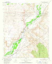
1954 Map of San Felipe Pueblo
USGS Topo · Published 1967About this map
The Rio Grande corridor serves as the central artery for this mid-century look at Sandoval County, where traditional land grants and modern infrastructure meet. The San Felipe Pueblo and the village of Algodones are the primary settlements, supported by an intricate network of irrigation including the Algodones Riverside Drain and the San Felipe Canal. This landscape reveals a complex history of transit and power, featuring the historic route of El Camino Real alongside the Pan American Highway and the Atchison Topeka and Santa Fe railroad line. Industrial presence is noted at the Algodones Power Plant, while the surrounding terrain is defined by the high elevations of Mesa Santa Ana and several named arroyos like Arroyo Tonque that drain into the valley.
Find a feature on this map
34 named features on this map. Tap any name to fly to it.
Don’t see what you’re looking for? This feature index may not catch every label — zoom into the map to look around manually.
Map Details
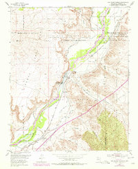
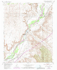
Editions of this 1954 San Felipe Pueblo Map
4 editions found

Other maps of this area

1888 · Bernalillo
USGS Topo · 1:125,000

1889 · Albuquerque
USGS Topo · 1:125,000

1890 · Jemes
USGS Topo · 1:125,000

1892 · San Pedro
USGS Topo · 1:125,000

1892 · Jemes
USGS Topo · 1:125,000

1892 · Santa Clara
USGS Topo · 1:125,000

1893 · Albuquerque
USGS Topo · 1:125,000

1943 · Jemez
USGS Topo · 1:62,500

1952 · Jemez
USGS Topo · 1:62,500

1953 · Santo Domingo Pueblo
USGS Topo · 1:24,000