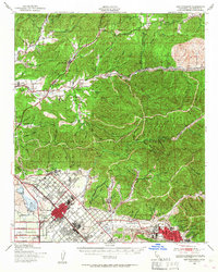
1940 Map of San Fernando
USGS Topo · Published 1955About this map
San Fernando Mission stands as a historic anchor in this 1940 study, situated at the edge of a rapidly developing San Fernando Valley. The map illustrates a landscape in transition, where established agricultural tracts and the massive San Fernando Reservoir meet the expanding street grids of San Fernando and Sylmar. The northern portion of the quadrangle is dominated by the steep canyons of the Angeles National Forest, including Placerita Canyon and Mint Canyon, which contrast sharply with the flat, developed valley floors below.
Find a feature on this map
44 named features on this map. Tap any name to fly to it.
Don’t see what you’re looking for? This feature index may not catch every label — zoom into the map to look around manually.
Map Details
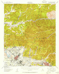
Editions of this 1940 San Fernando Map
2 editions found
Other maps of this area

1894 · Los Angeles
USGS Topo · 1:62,500

1896 · Pasadena
USGS Topo · 1:62,500

1896 · Santa Monica
USGS Topo · 1:62,500

1898 · Santa Monica
USGS Topo · 1:62,500

1900 · Pasadena
USGS Topo · 1:62,500

1900 · Tujunga
USGS Topo · 1:62,500

1900 · Los Angeles
USGS Topo · 1:62,500

1900 · Fernando
USGS Topo · 1:62,500

1901 · Southern California Sheet No. 1
USGS Topo · 1:250,000

1902 · Santa Monica
USGS Topo · 1:62,500