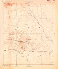
1894 Map of San Francisco Mtns
USGS Topo · Published 1905About this map
Flagstaff serves as the primary hub in this late nineteenth-century reconnaissance of Northern Arizona, situated along the critical corridor of the A and P Railroad. The settlement patterns here reveal a landscape defined by volcanic peaks and the essential search for water in an arid environment. Notable landmarks such as Fort Moroni and the elevated expanse of Elden Mesa stand near the base of the San Francisco Mountains, which dominate the central topography.
Find a feature on this map
48 named features on this map. Tap any name to fly to it.
Don’t see what you’re looking for? This feature index may not catch every label — zoom into the map to look around manually.
Map Details
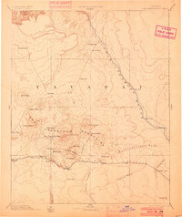
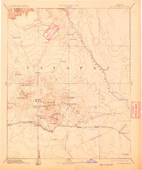
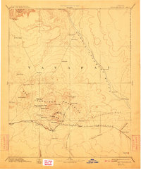
Editions of this 1894 San Francisco Mtns Map
5 editions found

Other maps of this area

1883 · Marsh Pass
USGS Topo · 1:250,000

1883 · Tusayan
USGS Topo · 1:250,000

1886 · Tusayan
USGS Topo · 1:250,000

1886 · San Francisco Mtns
USGS Topo · 1:250,000

1886 · Chino
USGS Topo · 1:250,000

1886 · Echo Cliffs
USGS Topo · 1:250,000

1886 · Holbrook
USGS Topo · 1:250,000

1886 · Kaibab
USGS Topo · 1:250,000

1887 · Verde
USGS Topo · 1:250,000

1887 · Prescott
USGS Topo · 1:250,000