
1894 Map of San Francisco Mtns
USGS Topo · Published 1894About this map
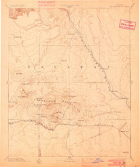
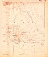
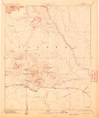
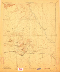
The high plateau of Yavapai country comes into sharp focus during the late nineteenth century, centered on the towering San Francisco Mountains and the volcanic terrain of Elden Mesa. The newly established railroad culture is evident along the A T & S F Railroad, which connects mountain outposts like Flagstaff, Bellemont, and Angell across the high desert. Beyond the tracks, the landscape is defined by its scarce water sources, marked by numerous tanks and springs such as Le Roux Spring and Shultz Spring. The map reveals early territorial landmarks like Fort Moroni and provides a look at the natural course of the Little Colorado River before later development. To the east, significant geographic waypoints like Grand Falls and The Crossing identify essential routes through the drainage of San Francisco Wash.
Find a feature on this map
48 named features on this map. Tap any name to fly to it.
Don’t see what you’re looking for? This feature index may not catch every label — zoom into the map to look around manually.
Map Details
Editions of this 1894 San Francisco Mtns Map
5 editions found
Other maps of this area

1883 · Marsh Pass
USGS Topo · 1:250,000

1883 · Tusayan
USGS Topo · 1:250,000

1886 · Tusayan
USGS Topo · 1:250,000

1886 · San Francisco Mtns
USGS Topo · 1:250,000

1886 · Chino
USGS Topo · 1:250,000

1886 · Echo Cliffs
USGS Topo · 1:250,000

1886 · Holbrook
USGS Topo · 1:250,000

1886 · Kaibab
USGS Topo · 1:250,000

1887 · Verde
USGS Topo · 1:250,000

1887 · Prescott
USGS Topo · 1:250,000