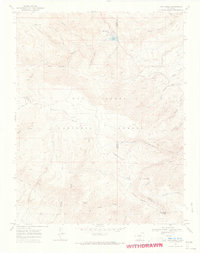
1969 Map of San Isabel
USGS Topo · Published 1973About this map
San Isabel and the recreation areas of the San Isabel National Forest dominate this late-1960s survey along the intersection of Custer, Pueblo, and Huerfano counties. High-altitude hydrology is the defining characteristic of the landscape, centered on Lake Isabel and various drainages like the Saint Charles River and Muddy Creek. The map shows a network of historic backcountry routes, including the Saint Charles Trail and Pole Creek Trail, which provide access to the high peaks and deep canyons.
Find a feature on this map
40 named features on this map. Tap any name to fly to it.
Don’t see what you’re looking for? This feature index may not catch every label — zoom into the map to look around manually.
Map Details
Editions of this 1969 San Isabel Map
2 editions found
Other maps of this area

1889 · Canon City
USGS Topo · 1:125,000

1889 · Huerfano Park
USGS Topo · 1:125,000

1891 · Walsenburg
USGS Topo · 1:125,000

1891 · Pueblo
USGS Topo · 1:125,000

1892 · Huerfano Park
USGS Topo · 1:125,000

1892 · Canon City
USGS Topo · 1:125,000

1894 · Walsenburg
USGS Topo · 1:125,000

1894 · Pueblo
USGS Topo · 1:125,000

1896 · Pueblo
USGS Topo · 1:125,000

1897 · Pueblo
USGS Topo · 1:125,000