Loading...
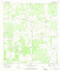
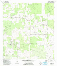
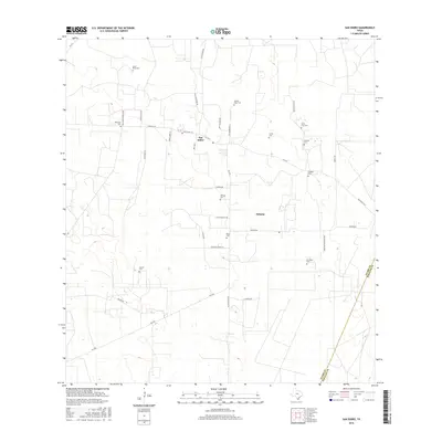
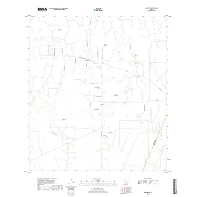
Loading map...1972 Map of San Isidro
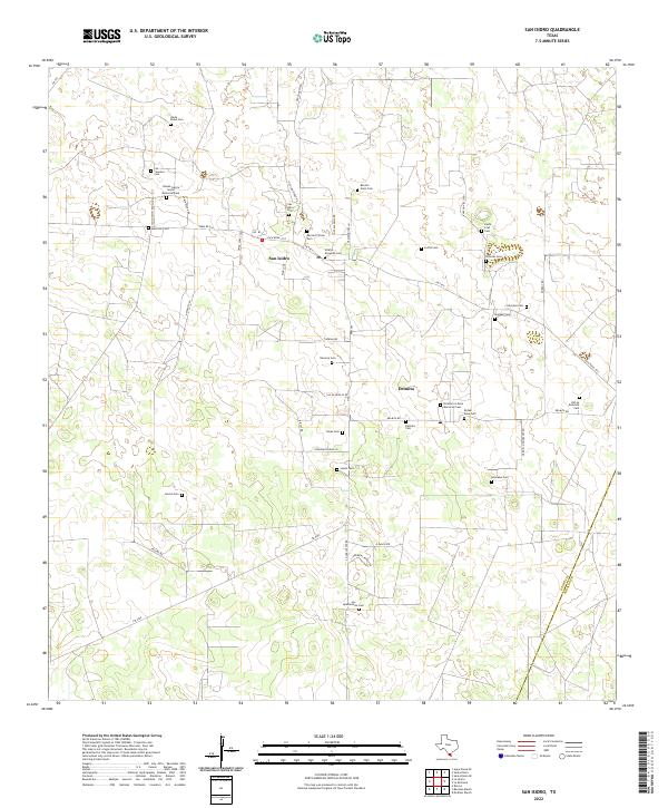
USGS Topo · Published 1975About this map
The San Isidro area of South Texas is defined by a dense network of family cemeteries and intensive petroleum extraction as it appeared in the early 1970s. This landscape across the Starr Co Hidalgo Co boundary is dotted with numerous small burial grounds, including the Old Santa Elena Cem, Montalvo Cem, and Rancho Viejo Cem, which often represent the last remaining markers of early ranching families in the region.
Find a feature on this map
31 named features on this map. Tap any name to fly to it.
Don’t see what you’re looking for? This feature index may not catch every label — zoom into the map to look around manually.
Map Details
Date Portrayed1972
Date Published1975
PublisherU.S. Geological Survey
Map TypeTopographic
Scale1:24,000
Physical Dimensions23.3 x 27.5 inches
Editions of this 1972 San Isidro Map
2 editions found
Historical Maps of San Isidro Through Time
6 maps found
Featured Locations
Source Details
SourceU.S. Geological Survey
CopyrightPublic Domain