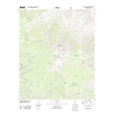
2012 Map of San Jacinto Peak
USGS Topo · Published 2012About this map
San Jacinto Peak stands as the central focal point of this high-altitude landscape, anchoring a network of ridges and summits including Tahquitz Peak and Jean Peak. The early 21st-century settlement patterns are visible at the base of the mountains in Pine Cove and Fern Valley, where a dense network of residential streets like Pine Cove Rd and Rimrock Rd transition into the protected wilderness. The geography reveals a land defined by water and elevation, with seasonal streams like Tahquitz Cr and Strawberry Cr draining the steep slopes. Significant human infrastructure for recreation is evident throughout, from the Tahquitz Peak Lookout to established sites like Laws Camp and the Willow Creek Crossing. This era shows a clear demarcation between the growing residential enclaves of the San Jacinto Mountains and the primitive backcountry trails such as the Azalea Trl.
Find a feature on this map
83 named features on this map. Tap any name to fly to it.
Don’t see what you’re looking for? This feature index may not catch every label — zoom into the map to look around manually.
Map Details
Editions of this 2012 San Jacinto Peak Map
This is the sole edition of this map. No revisions or reprints were ever made.
Other maps of this area

1901 · Southern California Sheet No. 1
USGS Topo · 1:250,000

1901 · San Jacinto
USGS Topo · 1:125,000

1904 · Southern California Sheet No. 1
USGS Topo · 1:250,000

1940 · Palm Springs
USGS Topo · 1:62,500

1940 · Hemet Reservoir
USGS Topo · 1:62,500

1942 · Banning
USGS Topo · 1:62,500

1942 · Hemet Reservoir
USGS Topo · 1:62,500

1942 · Hemet
USGS Topo · 1:62,500

1943 · Hemet
USGS Topo · 1:62,500

1943 · Banning
USGS Topo · 1:62,500
Featured Places
- Palm Springs, CA
- Pine Wood, CA
- Pine Cove, Idyllwild-Pine Cove
- Idyllwild-Pine Cove, CA
- Fern Valley, Idyllwild-Pine Cove