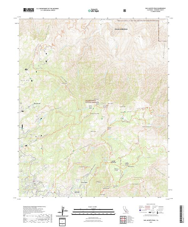
2021 Map of San Jacinto Peak
USGS Topo · Published 2021About this map
San Jacinto Peak towers over the high country of the San Bernardino National Forest in this survey of the San Jacinto Mountains. The landscape is defined by its dramatic granite formations, most notably the massive Suicide Rock and Lily Rock that overlook the southern settlements. The community of Idyllwild serves as the gateway to the wilderness, flanked by the residential developments of Fern Valley and Pine Cove.
Find a feature on this map
151 named features on this map. Tap any name to fly to it.
Don’t see what you’re looking for? This feature index may not catch every label — zoom into the map to look around manually.
Map Details
Editions of this 2021 San Jacinto Peak Map
This is the sole edition of this map. No revisions or reprints were ever made.
Other maps of this area

1901 · Southern California Sheet No. 1
USGS Topo · 1:250,000

1901 · San Jacinto
USGS Topo · 1:125,000

1904 · Southern California Sheet No. 1
USGS Topo · 1:250,000

1940 · Palm Springs
USGS Topo · 1:62,500

1940 · Hemet Reservoir
USGS Topo · 1:62,500

1942 · Banning
USGS Topo · 1:62,500

1942 · Hemet Reservoir
USGS Topo · 1:62,500

1942 · Hemet
USGS Topo · 1:62,500

1943 · Hemet
USGS Topo · 1:62,500

1943 · Banning
USGS Topo · 1:62,500
Featured Places
- Palm Springs, CA
- Pine Wood, CA
- Pine Cove, Idyllwild-Pine Cove
- Idyllwild-Pine Cove, CA
- Fern Valley, Idyllwild-Pine Cove