
1901 Map of San Jacinto
USGS Topo · Published 1905About this map
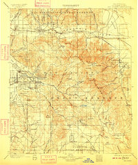
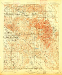
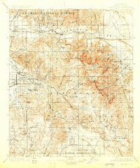
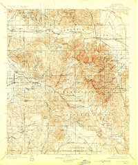
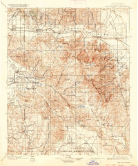
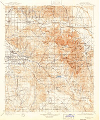
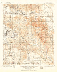
San Jacinto and Hemet anchor the western valley floors of this 1901 survey, illustrating a landscape defined by burgeoning citrus-era irrigation and early mountain tourism. The map traces the critical corridor of the Southern Pacific R. R. through the San Gorgonio Pass, connecting settlements like Beaumont, Banning, and Cabezon before reaching the desert outpost of Palm Springs Sta.. High-altitude details reveal the early footprints of the San Jacinto Forest Reserve, where landmarks such as San Jacinto Pk. and Tahquitz Valley tower over the Hemet Reservoir. Local history researchers will find several specialized sites, including the Relief Hot Springs, the remote mining area of Kenworthy, and numerous indigenous lands such as the Coahuila Indian Reservation and Agua Caliente Ind. Res.
Find a feature on this map
113 named features on this map. Tap any name to fly to it.
Don’t see what you’re looking for? This feature index may not catch every label — zoom into the map to look around manually.
Map Details
Editions of this 1901 San Jacinto Map
9 editions found
Other maps of this area

1899 · Redlands
USGS Topo · 1:62,500

1901 · Southern California Sheet No. 1
USGS Topo · 1:250,000

1901 · San Jacinto
USGS Topo · 1:125,000

1901 · Redlands
USGS Topo · 1:62,500

1901 · Elsinore
USGS Topo · 1:125,000

1901 · San Luis Rey
USGS Topo · 1:125,000

1902 · San Gorgonio
USGS Topo · 1:125,000

1903 · Ramona
USGS Topo · 1:125,000

1904 · Indio
USGS Topo · 1:125,000

1904 · Southern California Sheet No. 2
USGS Topo · 1:250,000