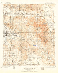
1901 Map of San Jacinto
USGS Topo · Published 1950About this map
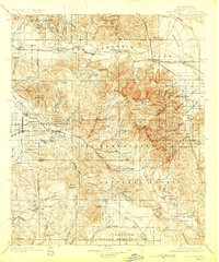
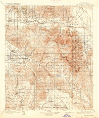
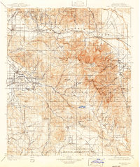
The San Jacinto Indian Reservation and several neighboring tribal lands, including the Agua Caliente Ind. Res. and Morongo Indian Reservation, dominate this turn-of-the-century landscape. The map captures a period of early development in the Coachella Valley, where the Southern Pacific R. R. skirts the northern edge through the San Gorgonio Pass, connecting settlements like Beaumont and Banning.
Find a feature on this map
107 named features on this map. Tap any name to fly to it.
Don’t see what you’re looking for? This feature index may not catch every label — zoom into the map to look around manually.
Map Details
Editions of this 1901 San Jacinto Map
9 editions found

Other maps of this area

1899 · Redlands
USGS Topo · 1:62,500

1901 · Southern California Sheet No. 1
USGS Topo · 1:250,000

1901 · San Jacinto
USGS Topo · 1:125,000

1901 · Redlands
USGS Topo · 1:62,500

1901 · Elsinore
USGS Topo · 1:125,000

1901 · San Luis Rey
USGS Topo · 1:125,000

1902 · San Gorgonio
USGS Topo · 1:125,000

1903 · Ramona
USGS Topo · 1:125,000

1904 · Indio
USGS Topo · 1:125,000

1904 · Southern California Sheet No. 2
USGS Topo · 1:250,000