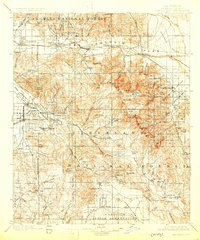
1901 Map of San Jacinto
USGS Topo · Published 1925About this map
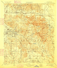
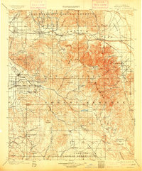
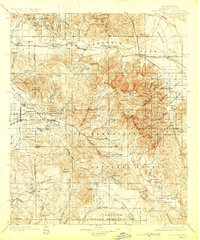
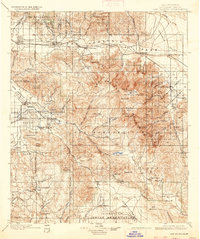
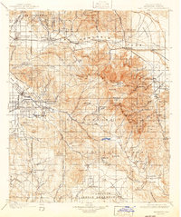
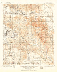
Mount San Jacinto dominates this landscape, rising above the San Gorgonio Pass where the Southern Pacific R. R. connects early mountain settlements like Banning and Beaumont to the desert floor. The survey highlights the complex relationship between the high peaks and the developing valleys, showing irrigation infrastructure like the Florida Canal and the substantial Hemet Reservoir providing water to the burgeoning citrus and agricultural lands around San Jacinto and Hemet. Multiple tribal lands, including the San Jacinto Indian Reservation and Cahuilla Indian Reservation, are clearly delineated alongside early recreation and health destinations like Relief Hot Springs and Palm Springs. This era of the late 1890s and early 1900s captures the region just as the San Jacinto Mountains were being established as a recreational and water resource for the surrounding lowlands.
Find a feature on this map
105 named features on this map. Tap any name to fly to it.
Don’t see what you’re looking for? This feature index may not catch every label — zoom into the map to look around manually.
Map Details
Editions of this 1901 San Jacinto Map
9 editions found

Other maps of this area

1899 · Redlands
USGS Topo · 1:62,500

1901 · Southern California Sheet No. 1
USGS Topo · 1:250,000

1901 · San Jacinto
USGS Topo · 1:125,000

1901 · Redlands
USGS Topo · 1:62,500

1901 · Elsinore
USGS Topo · 1:125,000

1901 · San Luis Rey
USGS Topo · 1:125,000

1902 · San Gorgonio
USGS Topo · 1:125,000

1903 · Ramona
USGS Topo · 1:125,000

1904 · Indio
USGS Topo · 1:125,000

1904 · Southern California Sheet No. 2
USGS Topo · 1:250,000