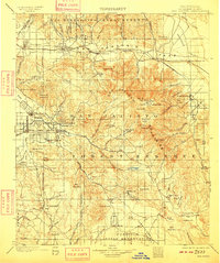
1901 Map of San Jacinto
USGS Topo · Published 1909About this map
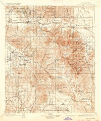
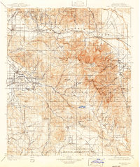
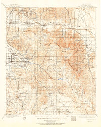
The San Jacinto Forest Reserve and San Bernardino Forest Reserve dominate this landscape, capturing the San Jacinto Mountains before the heavy urbanization of the Inland Empire. The Southern Pacific R. R. follows the San Gorgonio River through the pass, connecting rail stops at Beaumont, Banning, and Palm Springs Sta.. On the western slopes, the agricultural and resort potential of the region is evident in the layout of San Jacinto and Hemet, alongside early leisure destinations like Relief Hot Springs. Significant portions of the land are dedicated to various indigenous communities, including the Agua Caliente Ind. Res. and Coahuila Indian Reservation. High-altitude features like San Jacinto Pk. and Hemet Reservoir illustrate the vital water management and topographic diversity that defined early Riverside County.
Find a feature on this map
126 named features on this map. Tap any name to fly to it.
Don’t see what you’re looking for? This feature index may not catch every label — zoom into the map to look around manually.
Map Details
Editions of this 1901 San Jacinto Map
9 editions found

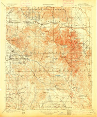
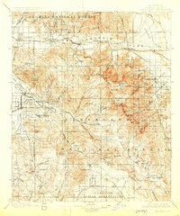
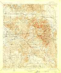
Other maps of this area

1899 · Redlands
USGS Topo · 1:62,500

1901 · Southern California Sheet No. 1
USGS Topo · 1:250,000

1901 · San Jacinto
USGS Topo · 1:125,000

1901 · Redlands
USGS Topo · 1:62,500

1901 · Elsinore
USGS Topo · 1:125,000

1901 · San Luis Rey
USGS Topo · 1:125,000

1902 · San Gorgonio
USGS Topo · 1:125,000

1903 · Ramona
USGS Topo · 1:125,000

1904 · Indio
USGS Topo · 1:125,000

1904 · Southern California Sheet No. 2
USGS Topo · 1:250,000