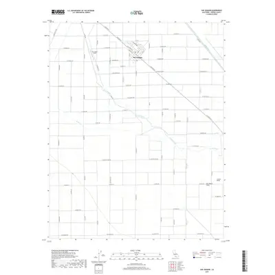
2018 Map of San Joaquin
USGS Topo · Published 2018About this map
San Joaquin serves as the primary hub of this Central Valley landscape, its grid layout aligned with Railroad St and bounded by W South Ave. The surrounding geography is defined by a sophisticated network of water management and irrigation, including the winding course of the Fresno Slough and the engineered Beta Canal. The rural area is deeply partitioned by the Public Land Survey System, with township markers like t15s r16e and t16s r17e delineating the vast agricultural tracts. To the west of the town center, the San Joaquin Airport provides a clear landmark for local aviation history. The transition from the developed core of San Joaquin to the broader Central Valley is traced through an extensive grid of county roads, such as Colorado Rd and S Levee Rd, which follow the natural and artificial watercourses that sustain the region's industry.
Find a feature on this map
50 named features on this map. Tap any name to fly to it.
Don’t see what you’re looking for? This feature index may not catch every label — zoom into the map to look around manually.
Map Details
Editions of this 2018 San Joaquin Map
This is the sole edition of this map. No revisions or reprints were ever made.
Other maps of this area

1912 · Coalinga
USGS Topo · 1:125,000

1923 · Englebrecht Ranch
USGS Topo · 1:31,680

1924 · Jamesan
USGS Topo · 1:31,680

1924 · Tranquillity
USGS Topo · 1:31,680

1925 · Helm
USGS Topo · 1:31,680

1925 · San Joaquin
USGS Topo · 1:31,680

1931 · Wheatville
USGS Topo · 1:31,680

1931 · Towne Oil Station
USGS Topo · 1:31,680

1931 · Mouth of Cantua Creek
USGS Topo · 1:31,680

1943 · Joaquin Rocks
USGS Topo · 1:62,500