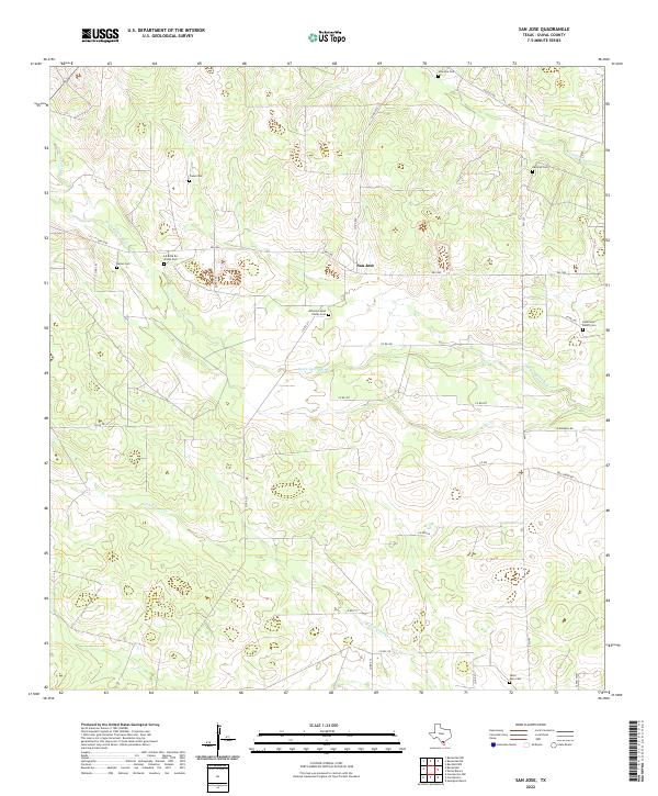
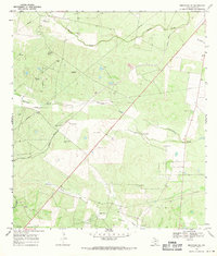
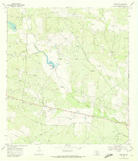
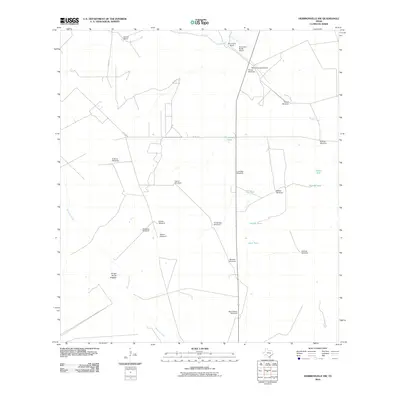
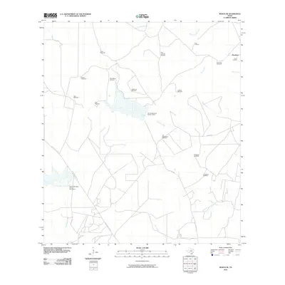
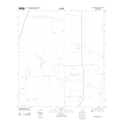
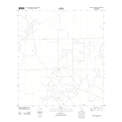
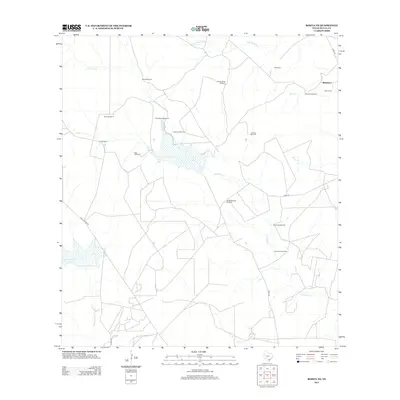
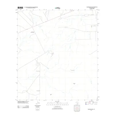
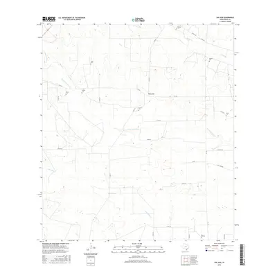
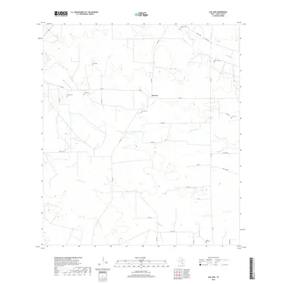
2022 Map of San Jose
USGS Topo · Published 2022About this map
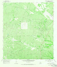
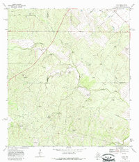
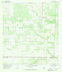
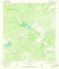
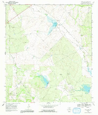
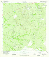
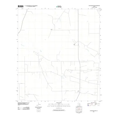
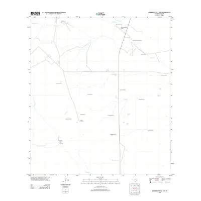
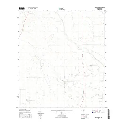
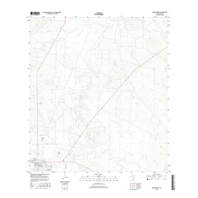
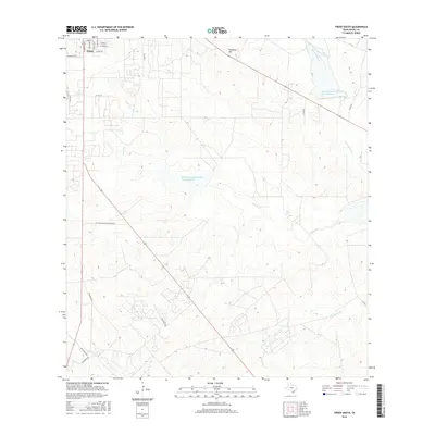
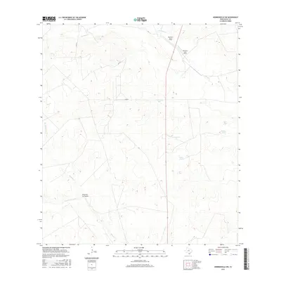
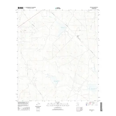
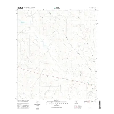
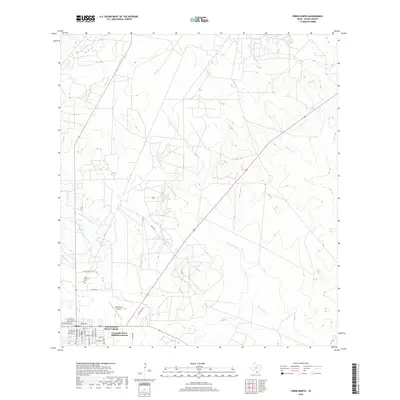
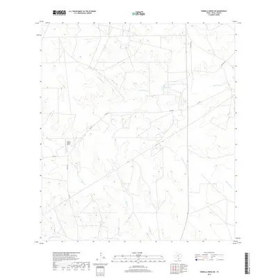
Family cemeteries and ephemeral drainages define this South Texas landscape in Duval County. The small settlement of San Jose serves as a central point for a network of county roads including Co RD 211 and FM 2295. This area is dense with private burial grounds, such as the Antonio L3pez Family Cem and Casas Cem, reflecting a long history of ranching and land ownership by local families. The terrain is marked by seasonal waterways like Santa Gertrudis Cr and Jaboncillos Cr, which carve through the brush country. These features, along with names like La Mota de Olmos Cem and Esperanza Ranch Cem, suggest a heritage tied to the ranching culture and early Hispanic land grants of the region. This 2022 survey provides an exceptionally detailed look at the rural road infrastructure and family landmarks that persist in the modern era.
Find a feature on this map
32 named features on this map. Tap any name to fly to it.
Don’t see what you’re looking for? This feature index may not catch every label — zoom into the map to look around manually.
Map Details
Editions of this 2022 San Jose Map
This is the sole edition of this map. No revisions or reprints were ever made.
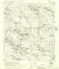
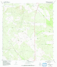
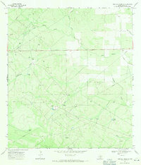
Historical Maps of San Jose Through Time
121 maps found
1956 Rosita Ranch
Duval County, TX
1967 Hebbronville NW
Duval County, TX
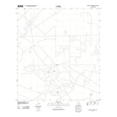
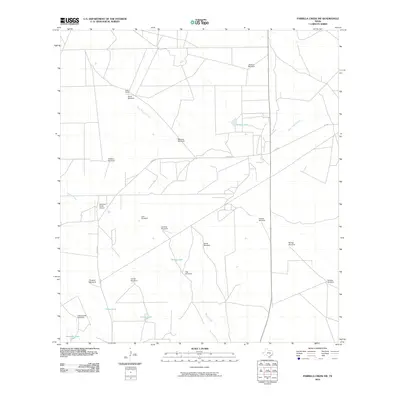
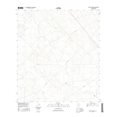
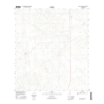
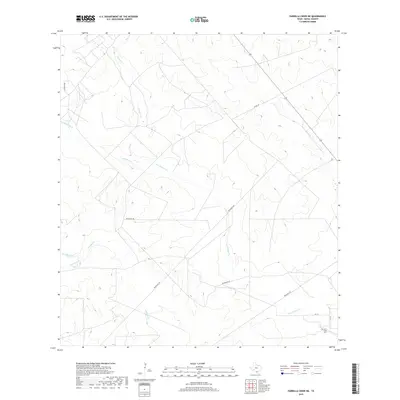
1967 Parrilla Creek SE
Duval County, TX
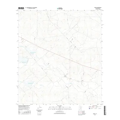
1968 Benavides NE
Duval County, TX
1968 Benavides NW
Duval County, TX
1968 Concepcion NW
Duval County, TX
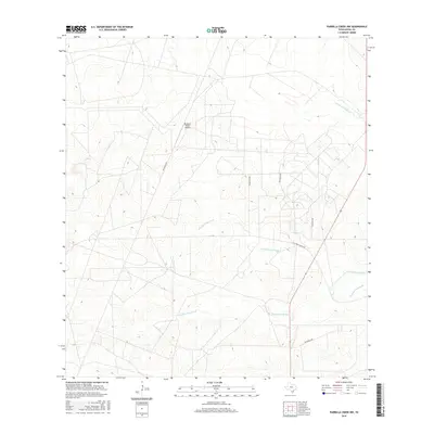
1968 Parrilla Creek NE
Duval County, TX
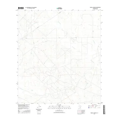
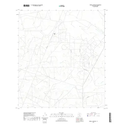
1968 Parrilla Creek NW
Duval County, TX
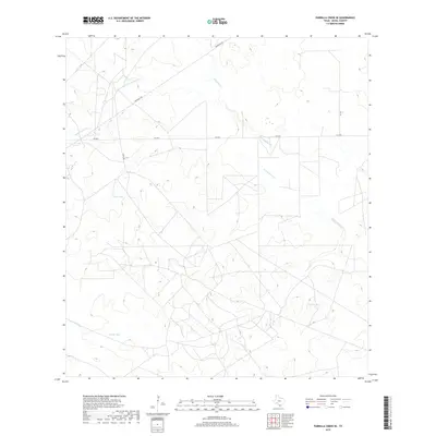
1968 Parrilla Creek SW
Duval County, TX
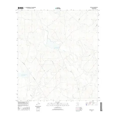
1968 Rosita
Duval County, TX
1968 San Jose
Duval County, TX
1969 Clegg
Duval County, TX

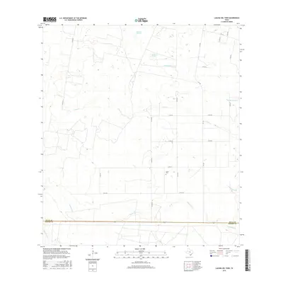
1969 Laguna Del Toro
Duval County, TX
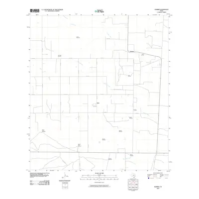
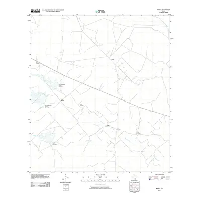
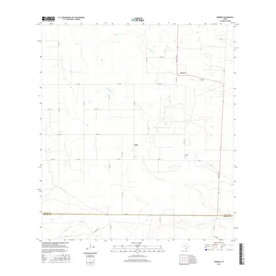
1969 Ramirez
Duval County, TX
1969 Rosita NE
Duval County, TX
1969 Rosita NW
Duval County, TX
1969 Rosita SE
Duval County, TX
1971 Freer North
Duval County, TX
1971 Freer NW
Duval County, TX
1971 Freer South
Duval County, TX
1971 Sarnosa Hill
Duval County, TX
2010 Benavides NE
Duval County, TX
2010 Benavides NW
Duval County, TX
2010 Clegg
Duval County, TX
2010 Concepcion NW
Duval County, TX
2010 Freer North
Duval County, TX
2010 Freer NW
Duval County, TX
2010 Freer South
Duval County, TX
2010 Hebbronville NW
Duval County, TX
2010 Laguna Del Toro
Duval County, TX
2010 Parrilla Creek NE
Duval County, TX
2010 Parrilla Creek NW
Duval County, TX
2010 Parrilla Creek SE
Duval County, TX
2010 Parrilla Creek SW
Duval County, TX
2010 Ramirez
Duval County, TX
2010 Rosita
Duval County, TX
2010 Rosita NE
Duval County, TX
2010 Rosita NW
Duval County, TX
2010 Rosita SE
Duval County, TX
2010 San Jose
Duval County, TX
2010 Sarnosa Hill
Duval County, TX
2012 Clegg
Duval County, TX
2013 Benavides NE
Duval County, TX
2013 Benavides NW
Duval County, TX
2013 Concepcion NW
Duval County, TX
2013 Freer North
Duval County, TX
2013 Freer NW
Duval County, TX
2013 Freer South
Duval County, TX
2013 Hebbronville NW
Duval County, TX
2013 Laguna Del Toro
Duval County, TX
2013 Parrilla Creek NE
Duval County, TX
2013 Parrilla Creek NW
Duval County, TX
2013 Parrilla Creek SE
Duval County, TX
2013 Parrilla Creek SW
Duval County, TX
2013 Ramirez
Duval County, TX
2013 Rosita
Duval County, TX
2013 Rosita NE
Duval County, TX
2013 Rosita NW
Duval County, TX
2013 Rosita SE
Duval County, TX
2013 San Jose
Duval County, TX
2013 Sarnosa Hill
Duval County, TX
2016 Benavides NE
Duval County, TX
2016 Benavides NW
Duval County, TX
2016 Clegg
Duval County, TX
2016 Concepcion NW
Duval County, TX
2016 Freer North
Duval County, TX

2016 Freer NW
Duval County, TX
2016 Freer South
Duval County, TX
2016 Hebbronville NW
Duval County, TX
2016 Laguna Del Toro
Duval County, TX
2016 Parrilla Creek NE
Duval County, TX
2016 Parrilla Creek NW
Duval County, TX
2016 Parrilla Creek SE
Duval County, TX
2016 Parrilla Creek SW
Duval County, TX
2016 Ramirez
Duval County, TX
2016 Rosita
Duval County, TX
2016 Rosita NE
Duval County, TX
2016 Rosita NW
Duval County, TX
2016 Rosita SE
Duval County, TX
2016 San Jose
Duval County, TX
2016 Sarnosa Hill
Duval County, TX
2019 Benavides NE
Duval County, TX
2019 Benavides NW
Duval County, TX
2019 Clegg
Duval County, TX
2019 Concepcion NW
Duval County, TX
2019 Freer North
Duval County, TX
2019 Freer NW
Duval County, TX
2019 Freer South
Duval County, TX
2019 Hebbronville NW
Duval County, TX
2019 Laguna Del Toro
Duval County, TX
2019 Parrilla Creek NE
Duval County, TX
2019 Parrilla Creek NW
Duval County, TX
2019 Parrilla Creek SE
Duval County, TX
2019 Parrilla Creek SW
Duval County, TX
2019 Ramirez
Duval County, TX
2019 Rosita
Duval County, TX
2019 Rosita NE
Duval County, TX
2019 Rosita NW
Duval County, TX
2019 Rosita SE
Duval County, TX
2019 San Jose
Duval County, TX
2019 Sarnosa Hill
Duval County, TX
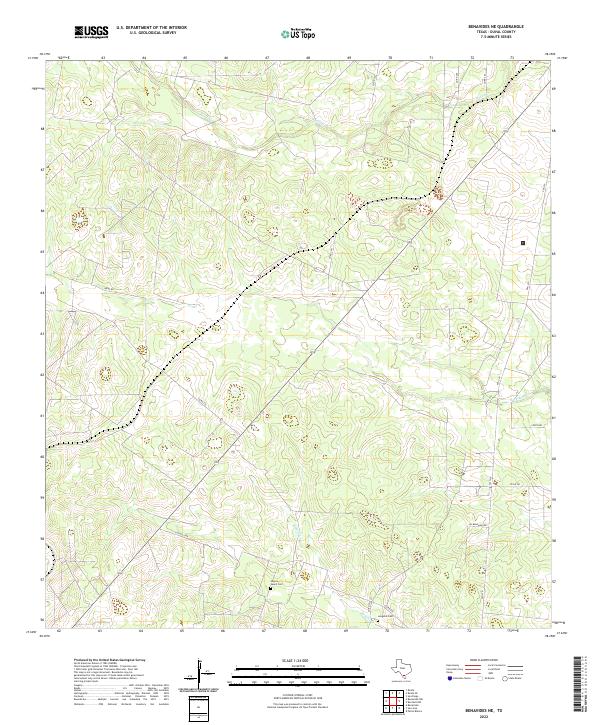
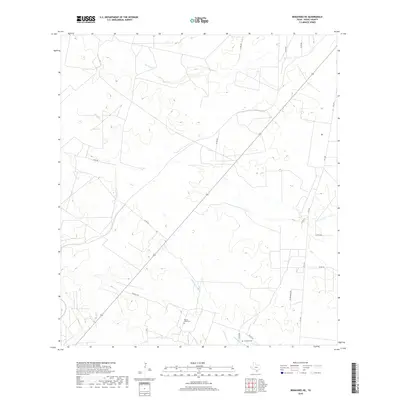
2022 Benavides NE
Duval County, TX
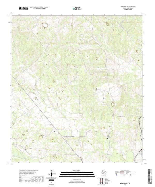
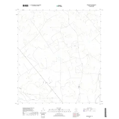
2022 Benavides NW
Duval County, TX
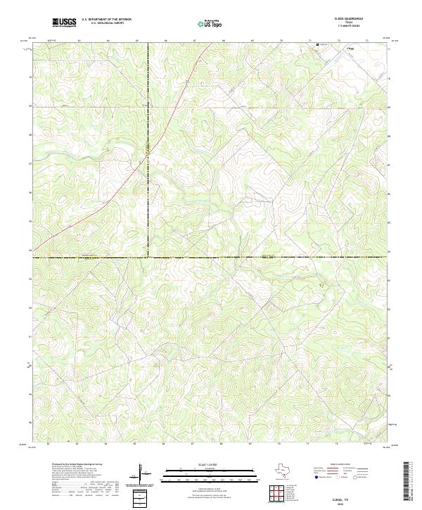
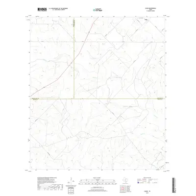
2022 Clegg
Duval County, TX
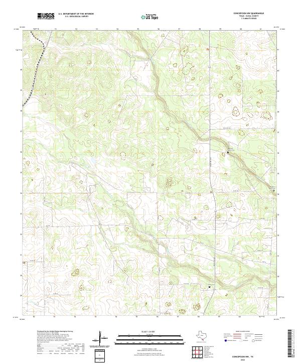
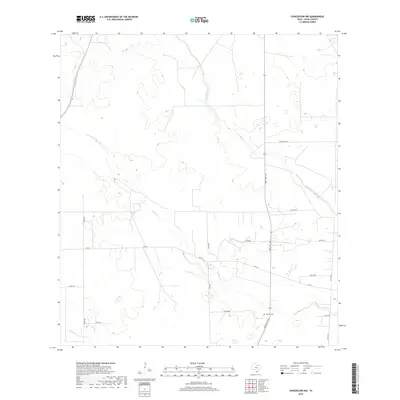
2022 Concepcion NW
Duval County, TX

2022 Freer North
Duval County, TX
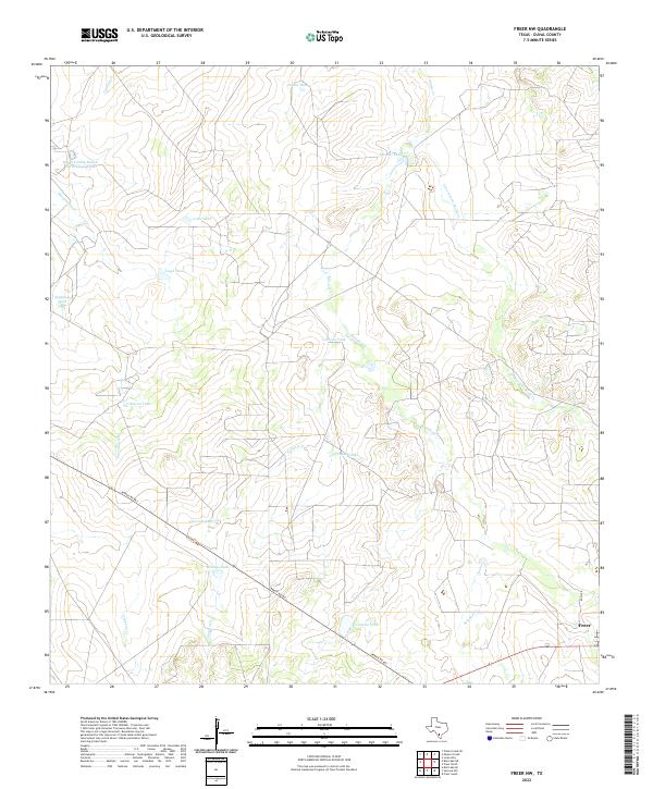
2022 Freer NW
Duval County, TX
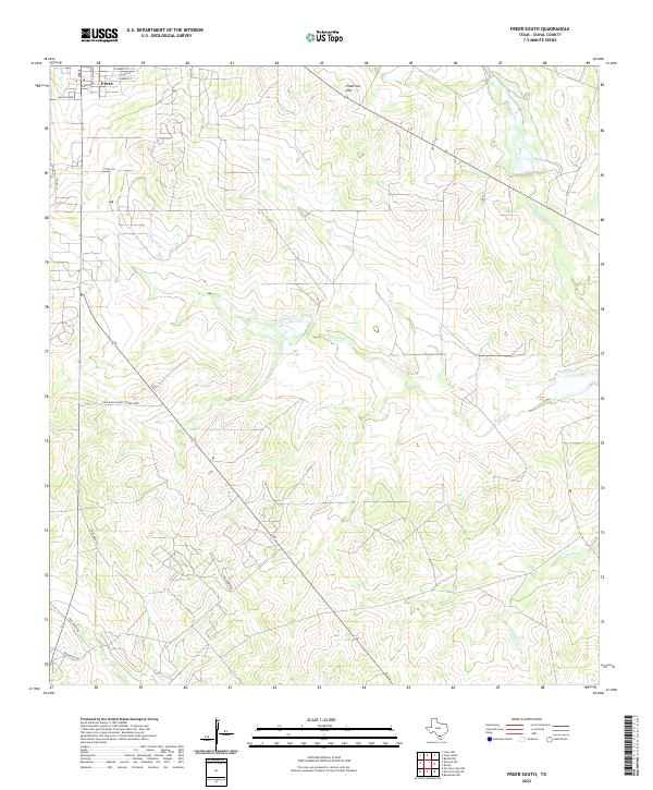
2022 Freer South
Duval County, TX
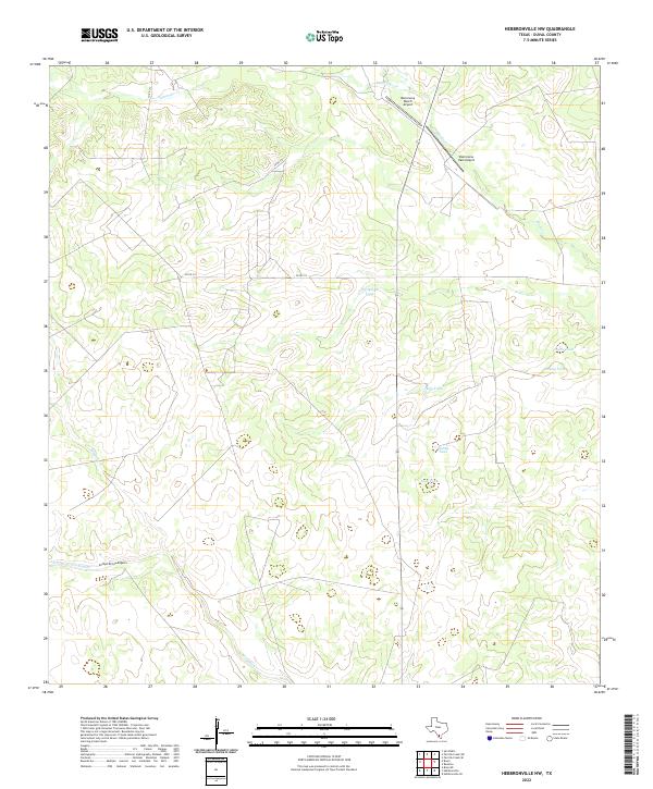
2022 Hebbronville NW
Duval County, TX
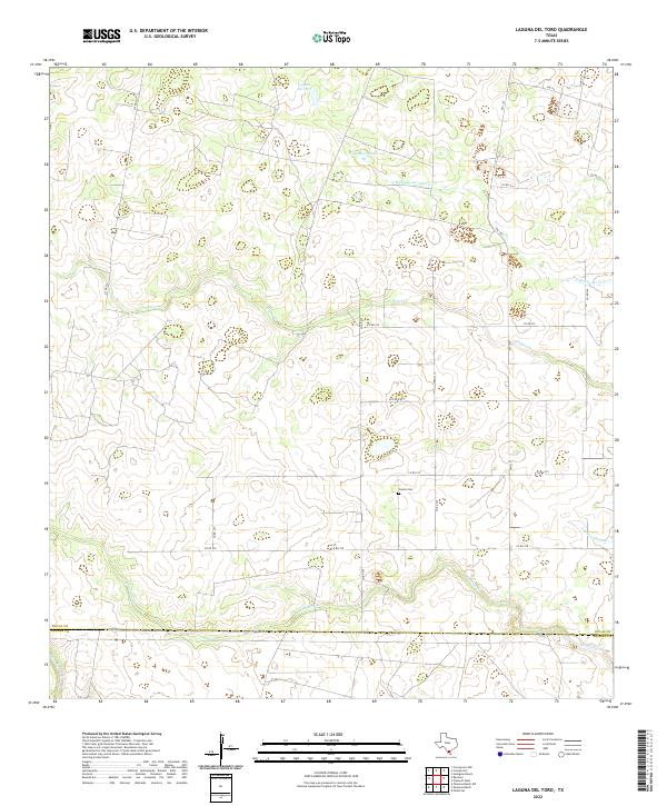
2022 Laguna Del Toro
Duval County, TX
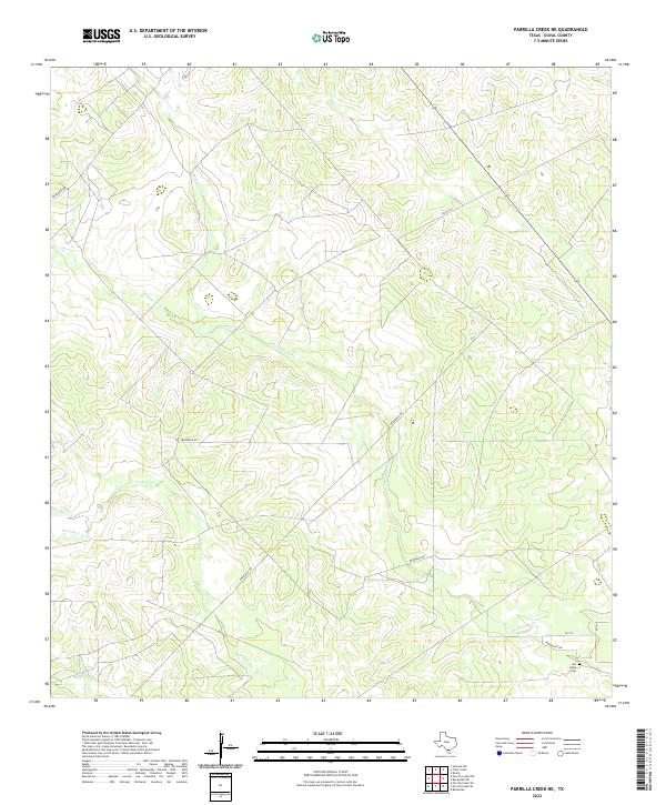
2022 Parrilla Creek NE
Duval County, TX
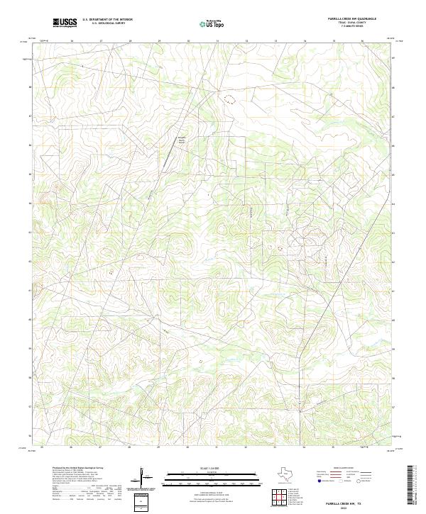
2022 Parrilla Creek NW
Duval County, TX
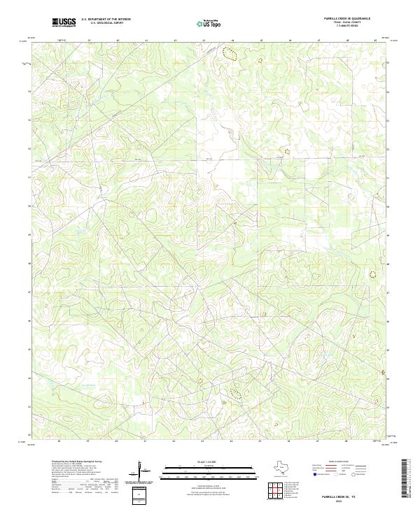
2022 Parrilla Creek SE
Duval County, TX
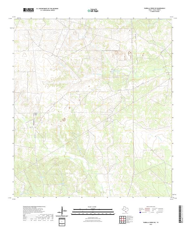
2022 Parrilla Creek SW
Duval County, TX
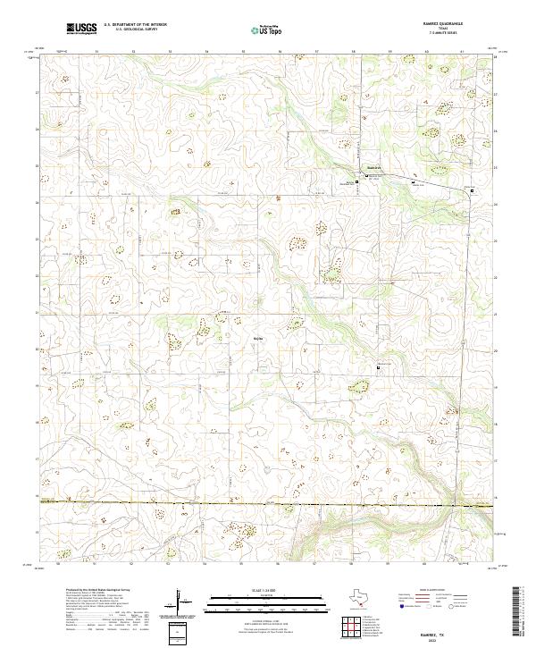
2022 Ramirez
Duval County, TX
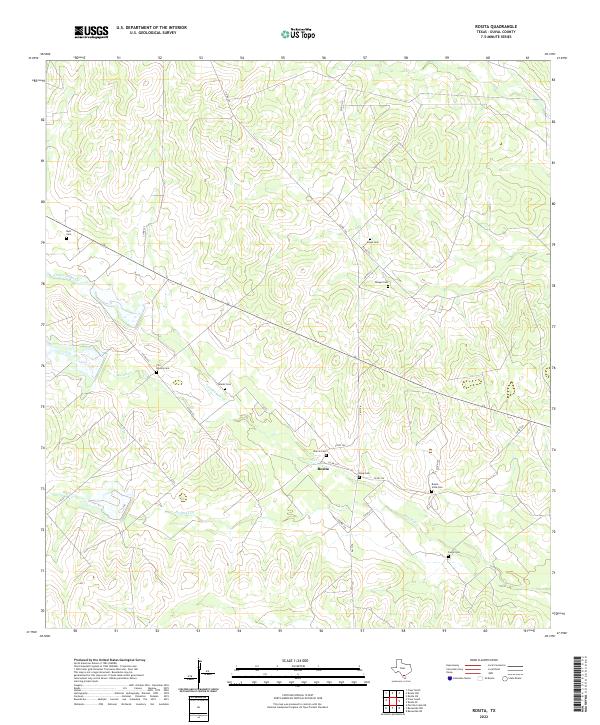
2022 Rosita
Duval County, TX
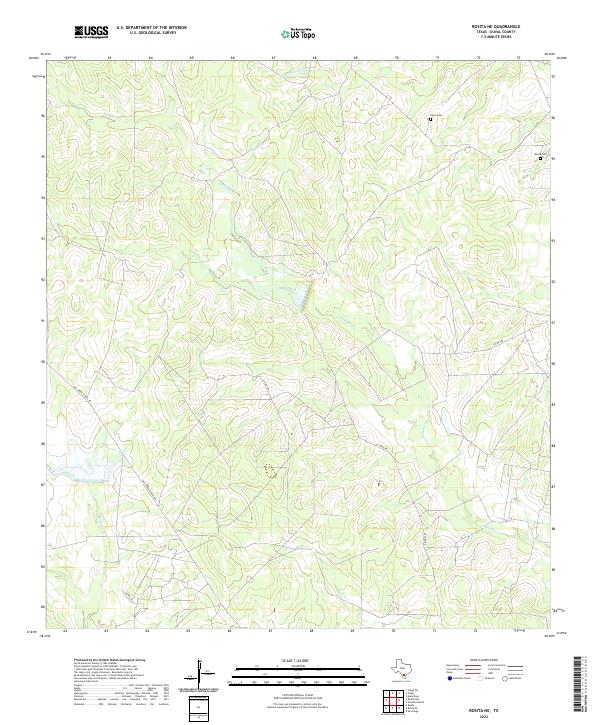
2022 Rosita NE
Duval County, TX
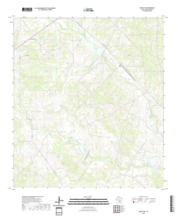
2022 Rosita NW
Duval County, TX
2022 Rosita SE
Duval County, TX
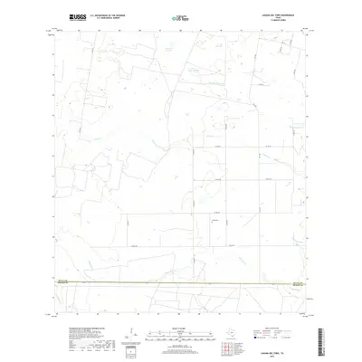
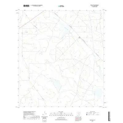
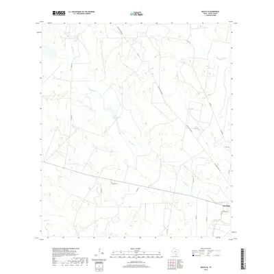
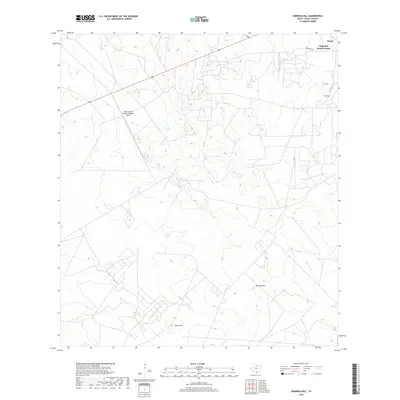
2022 San Jose
Duval County, TX
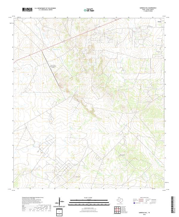
2022 Sarnosa Hill
Duval County, TX