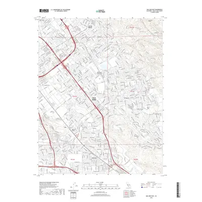
2018 Map of San Jose East
USGS Topo · Published 2018About this map
Alum Rock and the eastern edge of San Jose are defined by a dense suburban grid that transitions into the foothills of the Diablo Range. This 2018 survey documents the city's modern infrastructure, where major transportation corridors like Us 101 and I-680 intersect near major civic landmarks. Significant institutional footprints are visible throughout the quadrangle, including the Reid-Hillview Airport of Santa Clara County and educational hubs like San Jose Evergreen Community College.
Find a feature on this map
44 named features on this map. Tap any name to fly to it.
Don’t see what you’re looking for? This feature index may not catch every label — zoom into the map to look around manually.
Map Details
Editions of this 2018 San Jose East Map
This is the sole edition of this map. No revisions or reprints were ever made.
Other maps of this area

1889 · San Jose
USGS Topo · 1:62,500

1897 · San Jose
USGS Topo · 1:62,500

1897 · Mt. Hamilton
USGS Topo · 1:62,500

1899 · San Jose
USGS Topo · 1:62,500

1916 · New Almaden
USGS Topo · 1:48,000

1917 · Morgan Hill
USGS Topo · 1:62,500

1919 · New Almaden
USGS Topo · 1:62,500

1939 · Morgan Hill
USGS Topo · 1:62,500

1940 · Los Gatos
USGS Topo · 1:62,500

1941 · Morgan Hill
USGS Topo · 1:62,500