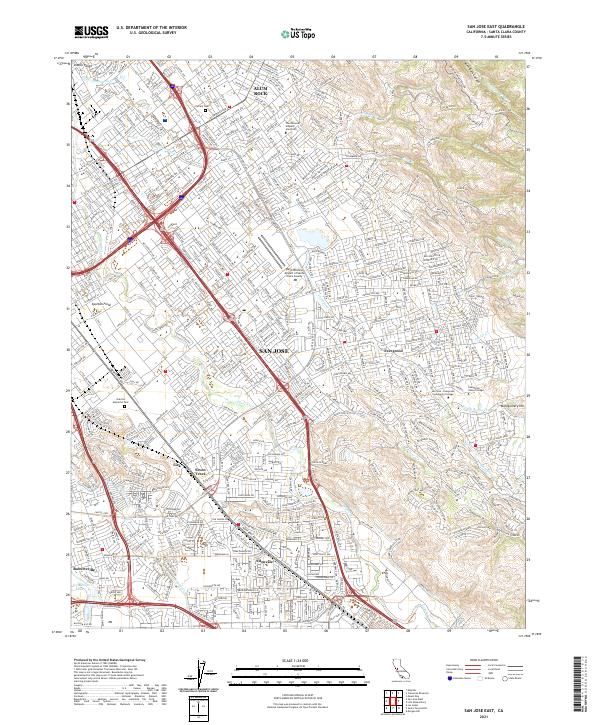
2021 Map of San Jose East
USGS Topo · Published 2021About this map
Coyote Cr and Silver Cr carve through this section of the Santa Clara Valley, illustrating the modern urban density of eastern San Jose as it meets the rising slopes of the Diablo Range. The landscape is a complex grid of residential expansion and critical infrastructure, anchored by Reid-Hillview Airport of Santa Clara County and the historic corridors of Monterey Rd and Tully Rd.
Find a feature on this map
38 named features on this map. Tap any name to fly to it.
Don’t see what you’re looking for? This feature index may not catch every label — zoom into the map to look around manually.
Map Details
Editions of this 2021 San Jose East Map
This is the sole edition of this map. No revisions or reprints were ever made.
Other maps of this area

1889 · San Jose
USGS Topo · 1:62,500

1897 · San Jose
USGS Topo · 1:62,500

1897 · Mt. Hamilton
USGS Topo · 1:62,500

1899 · San Jose
USGS Topo · 1:62,500

1916 · New Almaden
USGS Topo · 1:48,000

1917 · Morgan Hill
USGS Topo · 1:62,500

1919 · New Almaden
USGS Topo · 1:62,500

1939 · Morgan Hill
USGS Topo · 1:62,500

1940 · Los Gatos
USGS Topo · 1:62,500

1941 · Morgan Hill
USGS Topo · 1:62,500