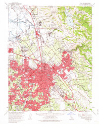
1961 Map of San Jose
USGS Topo · Published 1963About this map
San Jose and its burgeoning suburbs dominate this early 1960s landscape, a moment when the Santa Clara Valley was rapidly transitioning from its agricultural roots into a metropolitan center. The dense urban grid of Santa Clara and San Jose is bisected by the modern Nimitz Freeway and Bayshore Freeway, while traditional anchors like the University of Santa Clara and San Jose State College remain prominent. To the north, the industrial and marshy fringe near Alviso and the Mud Slough salt evaporators contrasts with the residential expansion pushing into Willow Glen, Burbank, and Evergreen.
Find a feature on this map
55 named features on this map. Tap any name to fly to it.
Don’t see what you’re looking for? This feature index may not catch every label — zoom into the map to look around manually.
Map Details
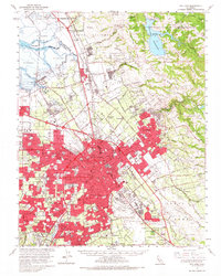
Editions of this 1961 San Jose Map
2 editions found
Other maps of this area

1889 · San Jose
USGS Topo · 1:62,500

1897 · San Jose
USGS Topo · 1:62,500

1897 · Mt. Hamilton
USGS Topo · 1:62,500

1897 · Palo Alto
USGS Topo · 1:62,500

1899 · San Jose
USGS Topo · 1:62,500

1899 · Palo Alto
USGS Topo · 1:62,500

1899 · Haywards
USGS Topo · 1:62,500

1902 · Santa Cruz
USGS Topo · 1:125,000

1906 · Pleasanton
USGS Topo · 1:62,500

1907 · Tesla
USGS Topo · 1:62,500