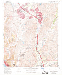
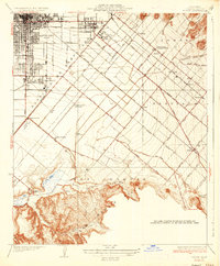
1968 Map of San Juan Capistrano
USGS Topo · Published 1969About this map
Suburban development in Southern California is captured here in a moment of rapid expansion during the late 1960s. Master-planned communities like Laguna Hills and Mission Viejo are shown with their winding street grids and golf courses, including the Leisure World Golf Club, established against the backdrop of the Sheep Niguel Hills. The San Diego Freeway acts as the primary spine for this growth, cutting through the landscape alongside the older route of the Atchison Topeka and Santa Fe railroad. To the south, the settlement of San Juan Capistrano maintains its distinct character near the confluence of San Juan Creek and Arroyo Trabuco. Infrastructure supporting this mid-century boom is evident through numerous schools like Mission Viejo High Sch and specialized features such as the Paz Landing Strip.
Find a feature on this map
47 named features on this map. Tap any name to fly to it.
Don’t see what you’re looking for? This feature index may not catch every label — zoom into the map to look around manually.
Map Details
Editions of this 1968 San Juan Capistrano Map
4 editions found
Other maps of this area

1896 · Santa Ana
USGS Topo · 1:62,500

1901 · Southern California Sheet No. 1
USGS Topo · 1:250,000

1901 · Santa Ana
USGS Topo · 1:62,500

1902 · Capistrano
USGS Topo · 1:125,000

1902 · Corona
USGS Topo · 1:125,000

1904 · Southern California Sheet No. 2
USGS Topo · 1:250,000

1904 · Southern California Sheet No. 1
USGS Topo · 1:250,000

1906 · Capistrano
USGS Topo · 1:125,000

1932 · Tustin
USGS Topo · 1:31,680
1935 · Tustin
USGS Topo · 1:31,680