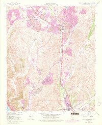
1968 Map of San Juan Capistrano
USGS Topo · Published 1978About this map
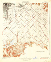
Mission Viejo and Laguna Hills emerge as rapidly expanding residential hubs in this mid-century look at Orange County development. The map documents the extensive urban growth of the era, highlighted by the purple-tinted revisions showing new neighborhoods spreading across the hillsides of Mission Viejo or La Paz and the Niguel Hills. Infrastructure for these planned communities is prominent, including schools like Olivewood Sch and Mission Viejo High Sch, alongside recreational spaces like the Leisure World Golf Club and Mission Viejo Golf Club.
Find a feature on this map
47 named features on this map. Tap any name to fly to it.
Don’t see what you’re looking for? This feature index may not catch every label — zoom into the map to look around manually.
Map Details
Editions of this 1968 San Juan Capistrano Map
4 editions found
Other maps of this area

1896 · Santa Ana
USGS Topo · 1:62,500

1901 · Southern California Sheet No. 1
USGS Topo · 1:250,000

1901 · Santa Ana
USGS Topo · 1:62,500

1902 · Capistrano
USGS Topo · 1:125,000

1902 · Corona
USGS Topo · 1:125,000

1904 · Southern California Sheet No. 2
USGS Topo · 1:250,000

1904 · Southern California Sheet No. 1
USGS Topo · 1:250,000

1906 · Capistrano
USGS Topo · 1:125,000

1932 · Tustin
USGS Topo · 1:31,680
1935 · Tustin
USGS Topo · 1:31,680