
1953 Map of San Juan Pueblo
USGS Topo · Published 1954About this map
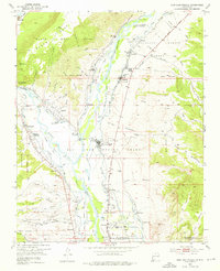
The confluence of the Rio Chama and the Rio Grande anchors this 1953 survey, revealing a landscape steeped in early colonial history. A landmark noted as the Old San Juan First Spanish Capitol 1598 sits near the west bank of the Rio Grande, marking the site of Oñate's early capital. This historical depth is complemented by numerous mission-style chapels that dot the river valley, including Capilla Señora de Guadalupe, Capilla de San Jose, and Capilla de San Antonio.
Find a feature on this map
60 named features on this map. Tap any name to fly to it.
Don’t see what you’re looking for? This feature index may not catch every label — zoom into the map to look around manually.
Map Details
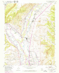
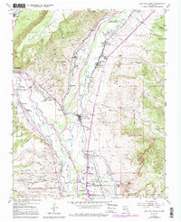
Editions of this 1953 San Juan Pueblo Map
4 editions found
Other maps of this area

1889 · Santa Fe
USGS Topo · 1:125,000

1892 · Santa Clara
USGS Topo · 1:125,000

1894 · Santa Fe
USGS Topo · 1:125,000

1918 · Abiquiu
USGS Topo · 1:125,000

1952 · Puye
USGS Topo · 1:24,000

1953 · Espanola
USGS Topo · 1:24,000

1953 · Chili
USGS Topo · 1:24,000

1953 · Medanales
USGS Topo · 1:24,000

1953 · Lyden
USGS Topo · 1:24,000

1953 · Velarde
USGS Topo · 1:24,000