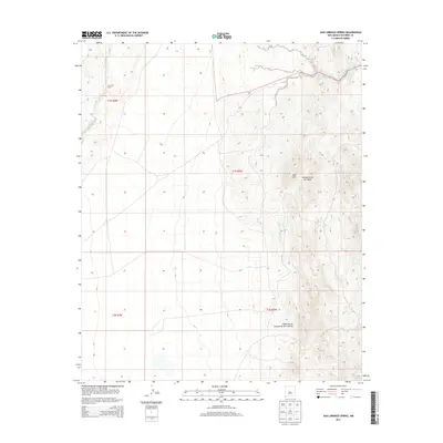
2013 Map of San Lorenzo Spring
USGS Topo · Published 2013About this map
La Jencia Ranch serves as a lone human waypoint in this high-desert landscape of Socorro County. The terrain is defined by dramatic geological incisions, most notably the winding paths of La Jencia Creek and the San Lorenzo Arroyo. These drainage networks carve through the arid earth, directing seasonal flows toward essential water sources like San Lorenzo Spring. To the east, the elevation rises sharply toward Red Mtn, flanked by complex canyon systems including Cañoncito de la Cabras and Cañoncito de Puertecito del Lemitar. The map captures a classic New Mexican basin-and-range character, where water—however intermittent—dictates the placement of historical ranching outposts and the names given to the land's deepest folds.
Find a feature on this map
11 named features on this map. Tap any name to fly to it.
Don’t see what you’re looking for? This feature index may not catch every label — zoom into the map to look around manually.
Map Details
Editions of this 2013 San Lorenzo Spring Map
This is the sole edition of this map. No revisions or reprints were ever made.
Other maps of this area

1906 · Socorro
USGS Topo · 1:62,500

1916 · La Joya
USGS Topo · 1:125,000

1952 · San Anacia
USGS Topo · 1:24,000

1954 · Socorro
USGS Topo · 1:250,000

1958 · Socorro
USGS Topo · 1:250,000

1959 · Socorro
USGS Topo · 1:24,000

1959 · Lemitar
USGS Topo · 1:24,000

1959 · Magdalena
USGS Topo · 1:62,500

1959 · Riley
USGS Topo · 1:62,500

1959 · Socorro
USGS Topo · 1:62,500