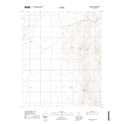
2020 Map of San Lorenzo Spring
USGS Topo · Published 2020About this map
San Lorenzo Spring marks a vital water source in this high desert landscape of Socorro County, where drainage patterns define the rugged topography. The map detail highlights the intricate network of seasonal waterways, most notably the San Lorenzo Arroyo which cuts through the eastern portion of the quadrangle. Steep elevation changes are dominated by landmarks such as Red Mtn, standing as a sentinel over the surrounding canyon systems. These deep-cut ravines, including Cañoncito de la Cabras and Cañoncito de Puertecito del Lemitar, reflect the erosive power of desert flash flooding. While La Jencia Creek defines the western edge of the survey area, the overall lack of modern infrastructure or settlements emphasizes the remote, undeveloped character of this New Mexico backcountry during the early twenty-first century.
Find a feature on this map
10 named features on this map. Tap any name to fly to it.
Don’t see what you’re looking for? This feature index may not catch every label — zoom into the map to look around manually.
Map Details
Editions of this 2020 San Lorenzo Spring Map
This is the sole edition of this map. No revisions or reprints were ever made.
Other maps of this area

1906 · Socorro
USGS Topo · 1:62,500

1916 · La Joya
USGS Topo · 1:125,000

1952 · San Anacia
USGS Topo · 1:24,000

1954 · Socorro
USGS Topo · 1:250,000

1958 · Socorro
USGS Topo · 1:250,000

1959 · Socorro
USGS Topo · 1:24,000

1959 · Lemitar
USGS Topo · 1:24,000

1959 · Magdalena
USGS Topo · 1:62,500

1959 · Riley
USGS Topo · 1:62,500

1959 · Socorro
USGS Topo · 1:62,500