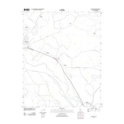
2012 Map of San Lucas
USGS Topo · Published 2012About this map
King City anchors the northwest corner of this coastal valley landscape, where the Salinas River and its broad agricultural corridor define the geography. The map captures the southern Salinas Valley at a time of established modern infrastructure, notably featuring the Mesa Del Rey Airport and the King City Municipal Golf Course as prominent civic landmarks. To the east, the terrain rises into a series of deeply etched drainages, including Wildhorse Canyon, Hamilton Canyon, and Sweetwater Canyon, illustrating the transition from the fertile river bottom to the arid uplands of the Gabilan Range.
Find a feature on this map
31 named features on this map. Tap any name to fly to it.
Don’t see what you’re looking for? This feature index may not catch every label — zoom into the map to look around manually.
Map Details
Editions of this 2012 San Lucas Map
This is the sole edition of this map. No revisions or reprints were ever made.
Other maps of this area

1912 · San Ardo
USGS Topo · 1:31,680

1912 · Metz
USGS Topo · 1:31,680

1915 · Priest Valley
USGS Topo · 1:125,000

1919 · King City
USGS Topo · 1:62,500

1921 · Metz
USGS Topo · 1:62,500

1939 · King City
USGS Topo · 1:62,500

1940 · Metz
USGS Topo · 1:62,500

1941 · San Ardo
USGS Topo · 1:62,500

1943 · San Ardo
USGS Topo · 1:62,500

1943 · Hernandez Valley
USGS Topo · 1:62,500