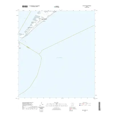
2022 Map of San Luis Pass
USGS Topo · Published 2022About this map
Galveston Island tapers toward its southwestern tip on this modern survey, where the narrow landform separates the Gulf of Mexico from the shallow waters of West Bay. The landscape is defined by the coastal settlements of West Beach and Bay Harbor, connected to the mainland and more central parts of the island by San Luis Pass Rd. Local residential development is concentrated along streets like Mendocino Dr and Spotted Sandpiper Dr, reflecting the area's growth as a coastal destination. At the far edge of the map, San Luis Pass marks the dynamic tidal inlet between the island and San Luis Island, while the small indentation of Red Fish Cove provides a sheltered point along the bay side. The map illustrates the contemporary boundary between Galveston and Alvin, along with the county line where Galveston Co meets Brazoria Co.
Find a feature on this map
18 named features on this map. Tap any name to fly to it.
Don’t see what you’re looking for? This feature index may not catch every label — zoom into the map to look around manually.
Map Details
Editions of this 2022 San Luis Pass Map
This is the sole edition of this map. No revisions or reprints were ever made.
Other maps of this area

1929 · Karankawa Lake
USGS Topo · 1:24,000

1931 · Lake Como
USGS Topo · 1:24,000

1933 · Karankawa Lake
USGS Topo · 1:31,680

1933 · San Luis Pass
USGS Topo · 1:31,680
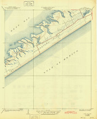
1933 · Lake Como
USGS Topo · 1:31,680

1943 · San Luis Pass
USGS Topo · 1:31,680
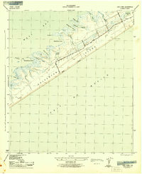
1943 · Lake Como
USGS Topo · 1:25,000
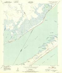
1943 · Carancahua Lake
USGS Topo · 1:24,000

1943 · Christmas Point
USGS Topo · 1:24,000

1943 · Chocolate Bay
USGS Topo · 1:24,000