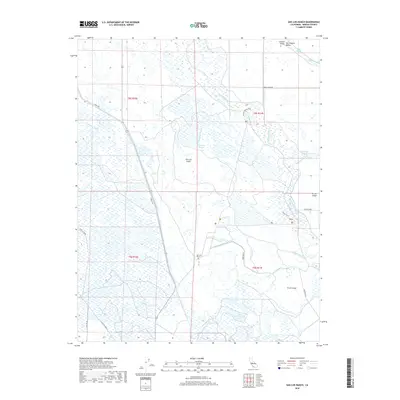
2018 Map of San Luis Ranch
USGS Topo · Published 2018About this map
San Luis Island dominates this portion of the Central Valley, where the intricate hydrology of the San Joaquin River floodplain meets early twenty-first-century agricultural engineering. The landscape is defined by a dense network of waterways, including Deadmans Slough and Mud Slough, which weave between major land divisions like Turner Island and Circle Island.
Find a feature on this map
31 named features on this map. Tap any name to fly to it.
Don’t see what you’re looking for? This feature index may not catch every label — zoom into the map to look around manually.
Map Details
Editions of this 2018 San Luis Ranch Map
This is the sole edition of this map. No revisions or reprints were ever made.
Other maps of this area

1916 · Delta Ranch
USGS Topo · 1:24,000

1918 · Arena
USGS Topo · 1:31,680

1918 · Stevinson
USGS Topo · 1:31,680

1918 · Gustine
USGS Topo · 1:31,680

1918 · Turner Ranch
USGS Topo · 1:31,680

1919 · San Luis Ranch
USGS Topo · 1:31,680

1919 · Ingomar
USGS Topo · 1:31,680

1921 · Volta
USGS Topo · 1:31,680

1921 · Los Banos
USGS Topo · 1:31,680
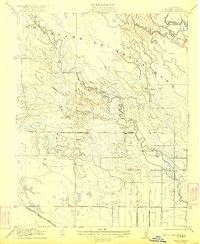
1922 · Delta Ranch
USGS Topo · 1:31,680