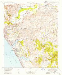
1948 Map of San Luis Rey
USGS Topo · Published 1955About this map
Mission San Luis Rey De Francia and the adjacent Academy of the Little Flower anchor the northern valley where the San Luis Rey River meets the coastal plain. Just after the war, this portion of San Diego County reveals a landscape in transition, where legacy land grants like Rancho Guajome and Santa Margarita Y Las Flores border growing coastal hubs. The Atchison Topeka and Santa Fe railroad corridor strings together the settlements of Oceanside, South Oceanside, and Carlsbad, following the line of the Coast Highway. Inland, the terrain rises sharply into landmarks such as Cerro de la Calavera and Loma Alta Mountain. The map captures specialized land uses of the era, from the Oceanside Municipal Airport and Rosicrucian Hospital to industrial Silica Pits and the protected waters of the Buena Vista Lagoon.
Find a feature on this map
52 named features on this map. Tap any name to fly to it.
Don’t see what you’re looking for? This feature index may not catch every label — zoom into the map to look around manually.
Map Details
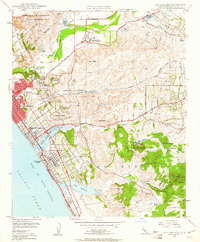
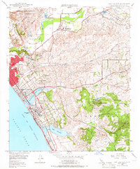
Editions of this 1948 San Luis Rey Map
3 editions found
Other maps of this area

1893 · Oceanside
USGS Topo · 1:62,500

1893 · Escondido
USGS Topo · 1:62,500

1898 · Oceanside
USGS Topo · 1:62,500

1901 · Escondido
USGS Topo · 1:62,500

1901 · Oceanside
USGS Topo · 1:62,500

1901 · San Luis Rey
USGS Topo · 1:125,000

1904 · Southern California Sheet No. 2
USGS Topo · 1:250,000

1941 · Margarita Peak
USGS Topo · 1:62,500

1942 · Margarita Peak
USGS Topo · 1:62,500

1942 · Temecula
USGS Topo · 1:62,500