
1900 Map of San Luis
USGS Topo · Published 1900About this map
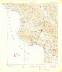
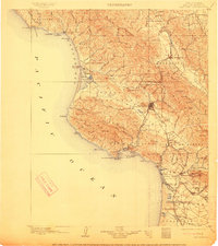
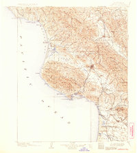
The coastal landscapes of San Luis Obispo County at the turn of the century reveal a region transitioning between seafaring trade and the arrival of major rail lines. San Luis Obispo serves as the inland hub, connected to the maritime activity at Port Harford and Mallagh Landing by the Pacific Coast Ry. Along the rugged shoreline, Morro Bay and the iconic Morro Rock anchor the northern coast near the settlement of Cayucos.
Find a feature on this map
132 named features on this map. Tap any name to fly to it.
Don’t see what you’re looking for? This feature index may not catch every label — zoom into the map to look around manually.
Map Details
Editions of this 1900 San Luis Map
4 editions found
Other maps of this area

1897 · Port Harford
USGS Topo · 1:62,500

1897 · San Luis Obispo
USGS Topo · 1:62,500

1897 · Cayucos
USGS Topo · 1:62,500

1897 · Arroyo Grande
USGS Topo · 1:62,500

1905 · Guadalupe
USGS Topo · 1:125,000

1905 · Lompoc
USGS Topo · 1:125,000

1914 · Cholame
USGS Topo · 1:125,000

1915 · Cholame
USGS Topo · 1:125,000

1917 · Cholame
USGS Topo · 1:125,000

1919 · Paso Robles
USGS Topo · 1:62,500