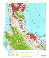
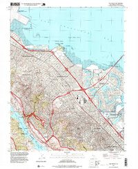
1939 Map of San Mateo
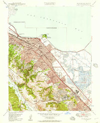
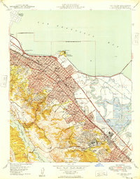
USGS Topo · Published 1965About this map
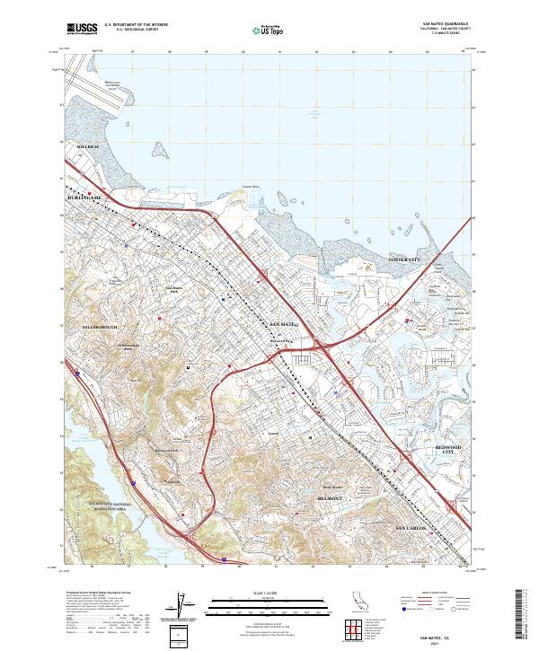
The San Francisco peninsula during the late 1930s and early 1940s reveals a landscape defined by the stark transition from urban density to the steep ridges of the coastal range. South of the city, the narrow corridor between the Pacific Ocean and San Francisco Bay is dominated by a chain of cemeteries near Colma, including Mt Olivet Memorial Park, Cypress Lawn Cem, and the Chinese Cem. This concentration of burial grounds reflects the early 20th-century relocation of cemeteries from the city proper.
Find a feature on this map
110 named features on this map. Tap any name to fly to it.
Don’t see what you’re looking for? This feature index may not catch every label — zoom into the map to look around manually.
Map Details
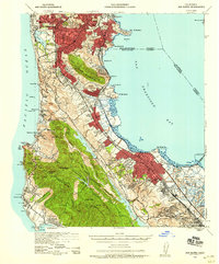
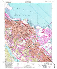
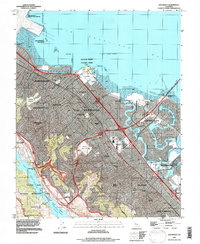
Editions of this 1939 San Mateo Map
3 editions found

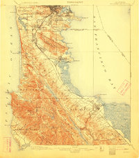
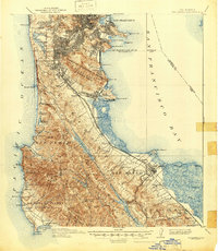
Historical Maps of San Francisco Through Time
15 maps found

1892 San Mateo
San Mateo County, CA

1896 San Mateo
San Mateo County, CA
1899 San Mateo
San Mateo County, CA
1915 San Mateo
San Mateo County, CA
1939 San Mateo
San Mateo County, CA

1943 San Mateo
San Mateo County, CA
1947 San Mateo
San Mateo County, CA
1949 San Mateo
San Mateo County, CA
1956 San Mateo
San Mateo County, CA
1993 San Mateo
San Mateo County, CA
1997 San Mateo
San Mateo County, CA
2012 San Mateo
San Mateo County, CA
2015 San Mateo
San Mateo County, CA
2018 San Mateo
San Mateo County, CA
2021 San Mateo
San Mateo County, CA