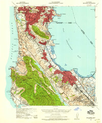
1939 Map of San Mateo
USGS Topo · Published 1958About this map
San Francisco extends its southern urban footprint into the peninsula during this late 1930s era, meeting the northern edge of San Francisco County San Mateo County. The map captures the rapid expansion of settlements like Daly City, South San Francisco, and Burlingame along the corridor defined by the Southern Pacific railroad and the Bayshore Highway. Significant land use is dedicated to large-scale infrastructure and institutional grounds, including the Golden Gate National Cem, Cypress Lawn Cem, and the St Josephs Military Academy.
Find a feature on this map
82 named features on this map. Tap any name to fly to it.
Don’t see what you’re looking for? This feature index may not catch every label — zoom into the map to look around manually.
Map Details
Editions of this 1939 San Mateo Map
3 editions found

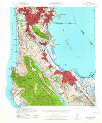
Other maps of this area

1892 · San Mateo
USGS Topo · 1:62,500

1895 · San Francisco
USGS Topo · 1:62,500

1896 · San Mateo
USGS Topo · 1:62,500

1897 · Concord
USGS Topo · 1:62,500

1897 · Palo Alto
USGS Topo · 1:62,500

1897 · Tamalpais
USGS Topo · 1:62,500

1899 · San Francisco
USGS Topo · 1:62,500

1899 · Palo Alto
USGS Topo · 1:62,500

1899 · Haywards
USGS Topo · 1:62,500

1899 · San Mateo
USGS Topo · 1:62,500