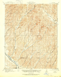
1919 Map of San Miguel
USGS Topo · Published 1951About this map
Indian Valley and the surrounding drainages of the Cholame Hills define the landscape of this 1917 survey. The settlement of San Miguel sits at the southwestern edge of the quadrangle along the Salinas River, serving as a hub for the Southern Pacific railroad and the neighboring rural communities of Valleton and McKay. The distribution of rural education across the Monterey and San Luis Obispo county line is particularly evident, with the locations of Eagle School, Vineyard School, Monroe School, Independence School, Imusdale School, and Ellis School indicating a dispersed agricultural population reliant on these local centers.
Find a feature on this map
37 named features on this map. Tap any name to fly to it.
Don’t see what you’re looking for? This feature index may not catch every label — zoom into the map to look around manually.
Map Details
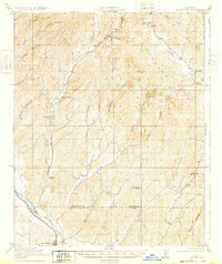
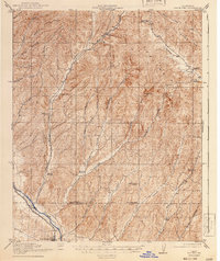
Editions of this 1919 San Miguel Map
4 editions found
Other maps of this area

1912 · Coalinga
USGS Topo · 1:125,000

1914 · Cholame
USGS Topo · 1:125,000

1915 · Priest Valley
USGS Topo · 1:125,000

1915 · Cholame
USGS Topo · 1:125,000

1917 · Cholame
USGS Topo · 1:125,000

1919 · San Miguel
USGS Topo · 1:62,500

1919 · Paso Robles
USGS Topo · 1:62,500

1919 · Bradley
USGS Topo · 1:62,500

1919 · Adelaida
USGS Topo · 1:62,500

1932 · Adelaida
USGS Topo · 1:62,500