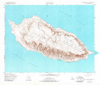
1956 Map of San Nicolas Island
USGS Topo · Published 1987About this map
San Nicolas Island is presented here through fieldwork and aerial photography updated in the mid-1950s. This survey, conducted by the Department of the Army and the Geological Survey, details the isolated terrain of the most remote of the Channel Islands. The landform is characterized by its steep southern escarpments and a plateau-like interior where a significant airfield and road network have been established. Along the shoreline, specific maritime navigational aids are noted, including a Light at the eastern and western extremities. The southern coast is broken by Dutch Harbor, providing one of the few named coastal indentations on the island. The map captures the island during a period of active military use, illustrating the intersection of natural topography and mid-century strategic infrastructure in the Pacific Ocean.
Find a feature on this map
4 named features on this map. Tap any name to fly to it.
Don’t see what you’re looking for? This feature index may not catch every label — zoom into the map to look around manually.
Map Details
Editions of this 1956 San Nicolas Island Map
3 editions found
Other maps of this area
1943 · San Nicolas Island
USGS Topo · 1:24,000

1949 · Long Beach
USGS Topo · 1:250,000
1956 · San Nicolas Island
USGS Topo · 1:24,000

1957 · Long Beach
USGS Topo · 1:250,000

1958 · Long Beach
USGS Topo · 1:250,000

1960 · Long Beach
USGS Topo · 1:250,000
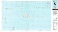
1993 · San Nicolas Island
USGS Topo · 1:100,000
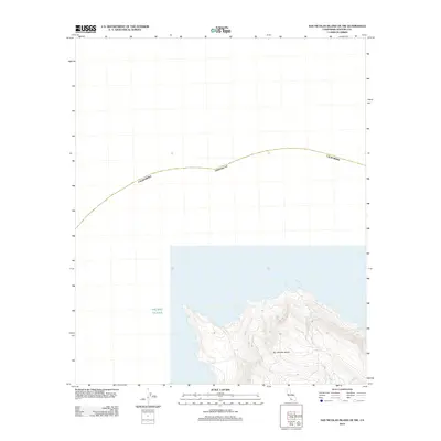
2012 · San Nicolas Island OE NW
USGS Topo · 1:24,000
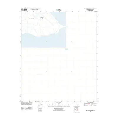
2012 · San Nicolas Island
USGS Topo · 1:24,000
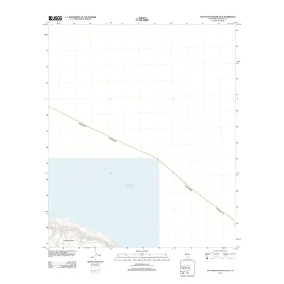
2012 · San Nicolas Island OE N
USGS Topo · 1:24,000