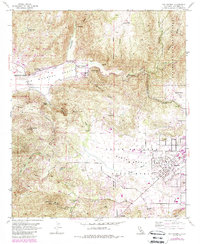
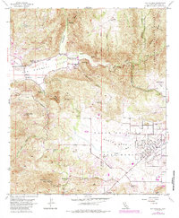
1954 Map of San Pasqual
USGS Topo · Published 1988About this map
The San Pasqual Battlefield State Historical Monument anchors the historic San Pasqual Valley, marking the site of a pivotal 1846 clash during the Mexican-American War. This 1954 survey, updated with 1985 revisions, illustrates the rural character of northern San Diego County before significant suburban expansion. The valley floor is defined by the course of Santa Ysabel Creek and the settlement of San Pasqual, which includes the San Pasqual Union Sch and an Indian Cem.
Find a feature on this map
41 named features on this map. Tap any name to fly to it.
Don’t see what you’re looking for? This feature index may not catch every label — zoom into the map to look around manually.
Map Details
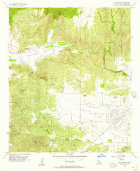
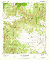
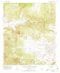
Editions of this 1954 San Pasqual Map
5 editions found
Other maps of this area

1893 · El Cajon
USGS Topo · 1:62,500

1893 · Escondido
USGS Topo · 1:62,500

1901 · Elcajon
USGS Topo · 1:62,500

1901 · Escondido
USGS Topo · 1:62,500

1901 · San Luis Rey
USGS Topo · 1:125,000

1903 · Cuyamaca
USGS Topo · 1:125,000

1903 · La Jolla
USGS Topo · 1:62,500

1903 · Elcajon
USGS Topo · 1:62,500

1903 · Ramona
USGS Topo · 1:125,000

1904 · Southern California Sheet No. 2
USGS Topo · 1:250,000