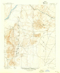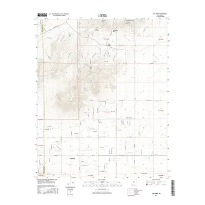
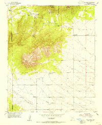
1954 Map of San Pedro
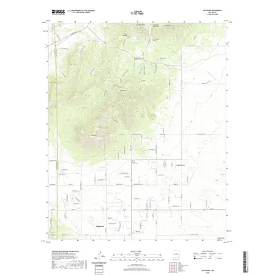
USGS Topo · Published 1978About this map
San Pedro Mountains and South Mountain dominate this mid-century topographic record of the high desert terrain east of the Bernalillo and Santa Fe County line. The settlement of San Pedro sits at the foot of San Pedro Mountain, characterized by scattered mining activity indicated by Mine Tailings and a Standpipe. To the north, the landscape is carved by Cañon del Agua, while to the south, Homes Valley provides more level ground where the Old Railroad Grade remains visible as a signature of former industrial transport. Local ranching history is preserved through several family-named landmarks including the Stewart Ranch, Simmons Ranch, and Horton Place. Genealogists will find the locations of San Pedro Cemetery and Mountain View Cemetery particularly valuable, as they provide fixed points for tracing residents of established outposts like Cedar Grove and Ranchito.
Find a feature on this map
29 named features on this map. Tap any name to fly to it.
Don’t see what you’re looking for? This feature index may not catch every label — zoom into the map to look around manually.
Map Details
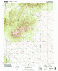
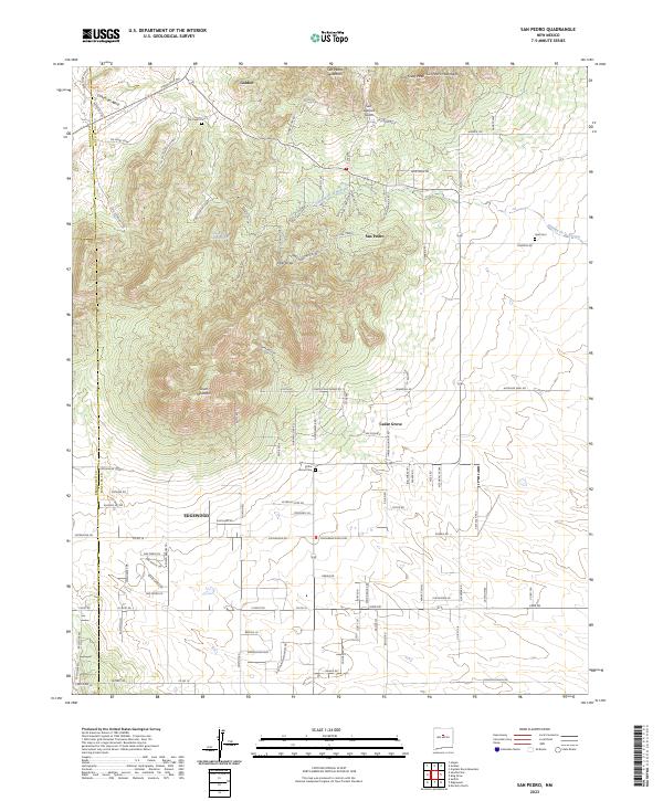
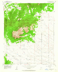
Editions of this 1954 San Pedro Map
3 editions found
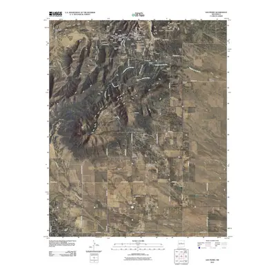
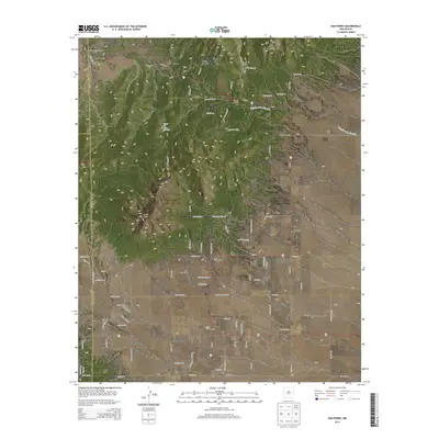
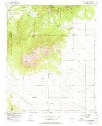
Historical Maps of Horton Place Through Time
8 maps found