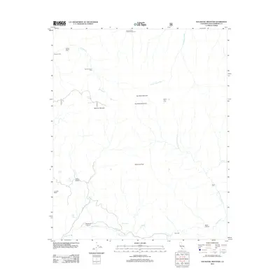
2012 Map of San Rafael Mountain
USGS Topo · Published 2012About this map
San Rafael Mountain and the surrounding San Rafael Mountains define this high-elevation landscape in Santa Barbara County. This 2012 survey illustrates a remote wilderness character where water sources and modest camps provide the primary landmarks for navigation. From McKinley Mountain in the west to Santa Cruz Peak in the south, the topography is carved by a network of drainages including the S Fork Sisquoc River and the W Fork Santa Cruz Cr. Evidence of human presence is sparse but specific, marked by established sites such as Doty Cabin and Mission Pine Camp. The map's detail provides critical data for those studying the backcountry infrastructure, identifying numerous water sources like McKinley Spring, Cold Spring, and Live Oak Spring that are essential to the area's geography.
Find a feature on this map
28 named features on this map. Tap any name to fly to it.
Don’t see what you’re looking for? This feature index may not catch every label — zoom into the map to look around manually.
Map Details
Editions of this 2012 San Rafael Mountain Map
This is the sole edition of this map. No revisions or reprints were ever made.
Other maps of this area

1902 · Santa Ynez
USGS Topo · 1:125,000

1905 · Santa Ynez
USGS Topo · 1:125,000

1941 · San Rafael Mtn.
USGS Topo · 1:62,500

1941 · McPherson Peak
USGS Topo · 1:62,500

1942 · San Rafael Mtn.
USGS Topo · 1:62,500

1942 · Little Pine Mountain
USGS Topo · 1:24,000

1943 · Big Pine Mountain
USGS Topo · 1:31,680

1943 · San Rafael Mtn.
USGS Topo · 1:62,500

1943 · McPherson Peak
USGS Topo · 1:62,500
1944 · Salisbury Potrero
USGS Topo · 1:31,680