
1917 Map of San Simon
USGS Topo · Published 1917About this map
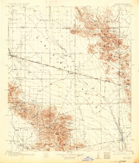
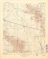
San Simon and Bowie anchor this early 20th-century landscape where the Southern Pacific RR and Arizona Eastern RR intersect across the San Simon Valley. The map highlights a transition from frontier outposts to a ranching and mining economy, notably marking the location of Old Fort Bowie and the Old Camp near the Graham and Cochise County boundary. Settlers in this arid basin established roots at family-named locations like Freeman Ranch, Cochran Ranch, and Riggs Home Ranch, while education was centralized at the Ninemile School and Artesia School.
Find a feature on this map
116 named features on this map. Tap any name to fly to it.
Don’t see what you’re looking for? This feature index may not catch every label — zoom into the map to look around manually.
Map Details
Editions of this 1917 San Simon Map
3 editions found
Other maps of this area

1916 · Pearce
USGS Topo · 1:125,000

1917 · Chiricahua
USGS Topo · 1:125,000

1918 · Pratt
USGS Topo · 1:62,500

1919 · Pratt
USGS Topo · 1:62,500

1919 · Chiricahua
USGS Topo · 1:125,000

1922 · Willcox
USGS Topo · 1:125,000

1926 · Light
USGS Topo · 1:62,500

1926 · Cochise Head
USGS Topo · 1:62,500

1926 · Rodeo
USGS Topo · 1:62,500

1926 · Rucker
USGS Topo · 1:62,500