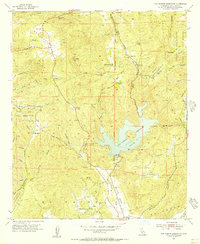
1955 Map of San Vicente Reservoir
USGS Topo · Published 1956About this map
San Vicente Reservoir dominates this mid-century landscape in San Diego County, serving as a focal point for the region's water infrastructure and topographical character. The sheet reveals a mix of rugged canyon terrain and strategic land use, including the vast Camp Elliott Naval Reservation to the west and the Barona Indian Reservation on the eastern edge. Small ranching outposts and settlements like Goodan Ranch, Wildwood Ranch, and Goat Ranch are scattered across the hills, reflecting the rural legacy of the area before modern suburban expansion.
Find a feature on this map
41 named features on this map. Tap any name to fly to it.
Don’t see what you’re looking for? This feature index may not catch every label — zoom into the map to look around manually.
Map Details
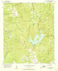
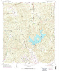
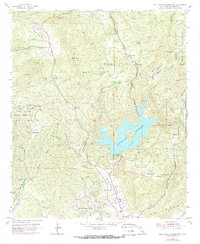
Editions of this 1955 San Vicente Reservoir Map
4 editions found
Other maps of this area

1893 · El Cajon
USGS Topo · 1:62,500

1893 · Escondido
USGS Topo · 1:62,500

1901 · Elcajon
USGS Topo · 1:62,500

1901 · Escondido
USGS Topo · 1:62,500

1901 · San Luis Rey
USGS Topo · 1:125,000

1903 · Cuyamaca
USGS Topo · 1:125,000

1903 · La Jolla
USGS Topo · 1:62,500

1903 · Elcajon
USGS Topo · 1:62,500

1903 · Ramona
USGS Topo · 1:125,000

1904 · Southern California Sheet No. 2
USGS Topo · 1:250,000