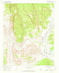
1969 Map of San Ysidro
USGS Topo · Published 1972About this map
San Ysidro sits at the convergence of the Jemez River and the Rio Salado, serving as a central point in a landscape defined by ancestral lands and colonial land grants. This 1969 survey documents the intricate boundaries of the Jemez Indian Reservation, Zia Indian Reservation, and the Espiritu Santo Grant. The terrain is characterized by high plateaus and deep arroyos, including the prominent White Mesa and Mesa Redonda.
Find a feature on this map
40 named features on this map. Tap any name to fly to it.
Don’t see what you’re looking for? This feature index may not catch every label — zoom into the map to look around manually.
Map Details
Editions of this 1969 San Ysidro Map
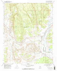
2 editions found
Other maps of this area

1888 · Bernalillo
USGS Topo · 1:125,000

1889 · Albuquerque
USGS Topo · 1:125,000

1890 · Jemes
USGS Topo · 1:125,000

1892 · Jemes
USGS Topo · 1:125,000

1893 · Albuquerque
USGS Topo · 1:125,000

1939 · San Ysidro
USGS Topo · 1:62,500

1943 · San Ysidro
USGS Topo · 1:62,500

1943 · Jemez
USGS Topo · 1:62,500

1952 · Jemez
USGS Topo · 1:62,500

1953 · Bernalillo NW
USGS Topo · 1:24,000