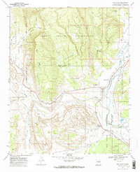
1969 Map of San Ysidro
USGS Topo · Published 1973About this map
San Ysidro sits at the confluence of the Jemez River and the Rio Salado, serving as a central point where the Jemez Indian Reservation and Zia Indian Reservation meet. The 1969 landscape is defined by its deep arroyos and dramatic mesas, such as White Mesa and Sierra Nacimiento. An Old Railroad Grade follows the southern bank of the Rio Salado, tracing a path through the Espiritu Santo Grant. This survey records a transition from the river valley to the high country, marked by numerous water sources like Blue Water Spring and Salt Spring, alongside small infrastructure like a Water Tank and Substa. To the south, Zia Reservoir and several scattered Ruins indicate the long-standing human interaction with this arid terrain, while a solitary Mine on the slope of White Mesa hints at the area's mineral interests.
Find a feature on this map
35 named features on this map. Tap any name to fly to it.
Don’t see what you’re looking for? This feature index may not catch every label — zoom into the map to look around manually.
Map Details
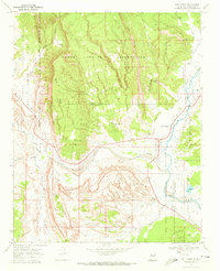
Editions of this 1969 San Ysidro Map
2 editions found
Other maps of this area

1888 · Bernalillo
USGS Topo · 1:125,000

1889 · Albuquerque
USGS Topo · 1:125,000

1890 · Jemes
USGS Topo · 1:125,000

1892 · Jemes
USGS Topo · 1:125,000

1893 · Albuquerque
USGS Topo · 1:125,000

1939 · San Ysidro
USGS Topo · 1:62,500

1943 · San Ysidro
USGS Topo · 1:62,500

1943 · Jemez
USGS Topo · 1:62,500

1952 · Jemez
USGS Topo · 1:62,500

1953 · Bernalillo NW
USGS Topo · 1:24,000