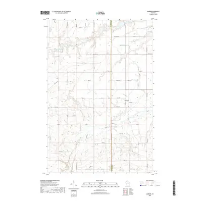
2018 Map of Sanborn
USGS Topo · Published 2018About this map
The White River winds through the northern reaches of this rural landscape, joined by Rock Cr and Deer Cr as they flow through the boundary between Bayfield Co and Ashland Co. The small settlement of Sanborn serves as a local crossroads, surrounded by a network of family-named roads such as Yonkovich Rd, Petrin Rd, and Berweger Rd. These names reflect the ancestral homesteads of the region, providing valuable data for genealogists tracing 20th-century landownership patterns.
Find a feature on this map
66 named features on this map. Tap any name to fly to it.
Don’t see what you’re looking for? This feature index may not catch every label — zoom into the map to look around manually.
Map Details
Editions of this 2018 Sanborn Map
This is the sole edition of this map. No revisions or reprints were ever made.
Other maps of this area

1942 · Ashland
USGS Topo · 1:48,000

1942 · Marengo
USGS Topo · 1:48,000

1944 · Moquah
USGS Topo · 1:48,000

1944 · Grandview
USGS Topo · 1:48,000

1945 · Marengo
USGS Topo · 1:48,000

1947 · Moquah
USGS Topo · 1:48,000

1947 · Ashland
USGS Topo · 1:48,000

1947 · Grandview
USGS Topo · 1:48,000

1953 · Ashland
USGS Topo · 1:250,000

1958 · Ashland
USGS Topo · 1:250,000