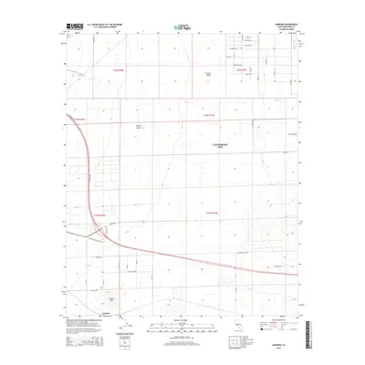
2015 Map of Sanborn
USGS Topo · Published 2015About this map
California City spreads across the western edge of the Mojave Desert in this 2015 survey, revealing an expansive grid of planned residential streets and boulevards that extend far beyond the developed core. The map documents the layout of the Fremont Valley north of Sanborn Hill, where thoroughfares like Rosewood Blvd and Yerba Blvd reach into the arid landscape. The southern portion of the sheet is defined by the Old Mojave-Barstow Hwy, a vital transportation corridor through this high desert region. To the north, the ephemeral drainage of Cache Cr crosses the valley floor, while the presence of Hyundai-Kia Blvd reflects the modern industrial and automotive testing infrastructure that has become a hallmark of the area's contemporary economy. The settlement of Sanborn serves as a quiet landmark amidst the vast grid of this ambitious desert community.
Find a feature on this map
44 named features on this map. Tap any name to fly to it.
Don’t see what you’re looking for? This feature index may not catch every label — zoom into the map to look around manually.
Map Details
Editions of this 2015 Sanborn Map
This is the sole edition of this map. No revisions or reprints were ever made.
Other maps of this area

1915 · Elizabeth Lake
USGS Topo · 1:125,000

1915 · Searles Lake
USGS Topo · 1:250,000

1915 · Mojave
USGS Topo · 1:125,000

1917 · Elizabeth Lake
USGS Topo · 1:125,000

1937 · Rogers Lake
USGS Topo · 1:48,000

1942 · Rogers Lake
USGS Topo · 1:62,500

1943 · Rosamond
USGS Topo · 1:62,500

1943 · Castle Butte
USGS Topo · 1:62,500

1943 · Mojave
USGS Topo · 1:62,500

1947 · Fluhr
USGS Topo · 1:24,000