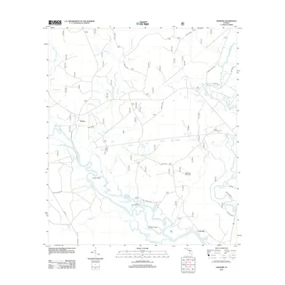
2012 Map of Sanborn
USGS Topo · Published 2012About this map
The Ochlockonee River and Sopchoppy River wind through this part of the Florida Panhandle, defining a landscape of wetlands and forest roads. The river system is marked by complex water features such as the Sufrett Cutoff and Sanborn Cutoff, reflecting the shifting hydrology of the lowlands. Small settlements and specialized landmarks appear throughout the territory, including Sanborn, Davis Camp, and Curtis Mill. Local history is preserved at the Sanborn McKenzie Cem and West Sopchoppy Cem.
Find a feature on this map
99 named features on this map. Tap any name to fly to it.
Don’t see what you’re looking for? This feature index may not catch every label — zoom into the map to look around manually.
Map Details
Editions of this 2012 Sanborn Map
This is the sole edition of this map. No revisions or reprints were ever made.
Other maps of this area

1940 · Arran
USGS Topo · 1:62,500

1943 · Arran
USGS Topo · 1:62,500

1943 · St. Teresa Beach
USGS Topo · 1:24,000

1944 · Pickett Bay
USGS Topo · 1:31,680

1945 · Thousand Yard Bay
USGS Topo · 1:31,680

1945 · Smith Creek
USGS Topo · 1:31,680

1945 · Bradwell Bay
USGS Topo · 1:31,680

1945 · Mc Intyre
USGS Topo · 1:31,680

1945 · St Teresa
USGS Topo · 1:31,680

1945 · Pickett Bay
USGS Topo · 1:31,680