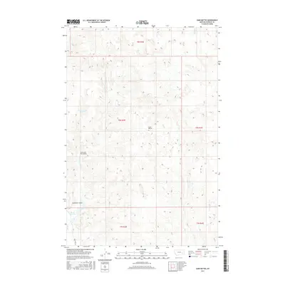
2017 Map of Sand Buttes
USGS Topo · Published 2017About this map
Sand Buttes dominate this portion of Rosebud County, where the high plains of Montana are carved by a complex network of ephemeral drainage systems and man-made water catchments. The landscape is defined by the hydrologic patterns of Sand Butte Coulee and Fisherman Dan Coulee, which feed into larger water bodies like the Fisherman Dan Reservoir. These features, alongside the Barley Reservoirs to the south, indicate a land use heavily centered on livestock management and water conservation in an arid environment.
Find a feature on this map
16 named features on this map. Tap any name to fly to it.
Don’t see what you’re looking for? This feature index may not catch every label — zoom into the map to look around manually.
Map Details
Editions of this 2017 Sand Buttes Map
This is the sole edition of this map. No revisions or reprints were ever made.
Other maps of this area

1954 · Forsyth
USGS Topo · 1:250,000

1957 · Forsyth
USGS Topo · 1:250,000

1958 · Forsyth
USGS Topo · 1:250,000

1968 · Rosebud
USGS Topo · 1:24,000

1968 · Box Canyon Coulee
USGS Topo · 1:24,000

1968 · Sand Buttes
USGS Topo · 1:24,000

1968 · Hathaway
USGS Topo · 1:24,000

1968 · Hathaway NW
USGS Topo · 1:24,000

1968 · Thurlow
USGS Topo · 1:24,000

1969 · Wild Horse Pass SE
USGS Topo · 1:24,000